What is recorded here
Situated on top of a low hillock in undulating countryside with a nearby earthwork (TN036-029001) to SW. A low mound is depicted on the current edition OS 6-inch map. Not depicted on the 1st edition OS 6-inch map. Not visible at ground level.
The above description is derived from 'The Archaeological Inventory of County Tipperary. Vol. 1 - North Tipperary' compiled by Jean Farrelly and Caimin O'Brien (Dublin: Stationery Office, 2002). In certain instances the entries have been revised and updated in the light of recent research.
Date of upload/revision: 22 September 2008
A Neolithic passage tomb; its significance lies in its potential as an early ritual or burial site, reflecting the funerary practices of prehistoric communities in the region.
The monument record does not grant public access. Check the route and ask the landowner before entering private land.
- What survives
- Recorded monument
Places near here
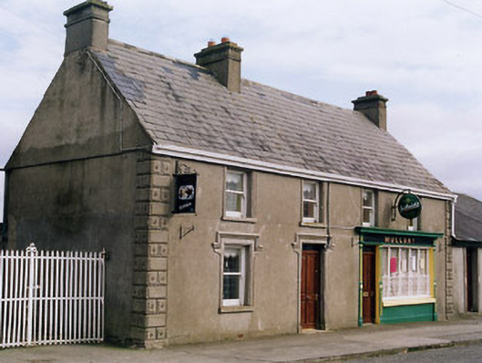 Mullanyhouse · 408 yd
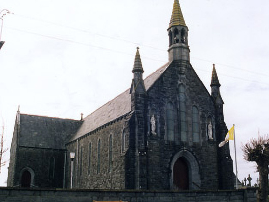 Saint Mary's Catholic Churchchurch/chapel · 449 yd
 Castle (in Ruins)Bawn · 1250 yd
 Enclosure in LisdonowleyEnclosure · 1727 yd
 Enclosure in Castletown (moyne Par.)Enclosure · 1.1 mi
 Bawn in Castletown (moyne Par.)Bawn · 1.1 mi
 Tullow HillMountain / peak · 4.7 mi
 St. Mary's Famine and War MuseumMuseum · 5.2 mi
 Famine & War MuseumMuseum · 5.3 mi
 European ashEuropean ash · 5.5 mi
 WoodlandWood · 5.8 mi
 Horse and JockeyVisitor information · 8.5 mi