What is recorded here
In scrubland with outcropping rock, on a SSE-facing slope. A roughly oval mound (8.1m NE-SW; 5.8m NW-SE; H 0.45m) defined by at least 12 kerbstones SW-NE. On the NE quadrant of the mound the tops of two stones (0.5m x 0.18m x 0.16m; 0.5m x 0.22m x 0.06m), at right angles to each other, protrude above the surface. Another stone (0.9m x 0.65m x 0.12m) lies on the surface beside them. The function or date of this mound is not clear. An outcropping rock, known locally as the 'hanging rock' is 1.85m to the WNW.
The above description is derived from 'The Archaeological Inventory of County Cork. Volume 5' (Dublin: Stationery Office, 2009).
Date of upload: 22 December 2009
The monument record does not grant public access. Check the route and ask the landowner before entering private land.
- What survives
- Recorded monument
Places near here
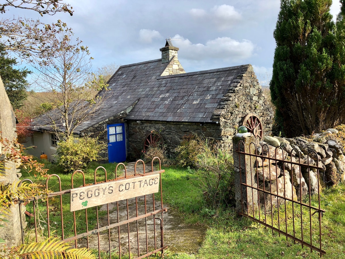 Hut site in Cappeen EastHut site · 1166 yd
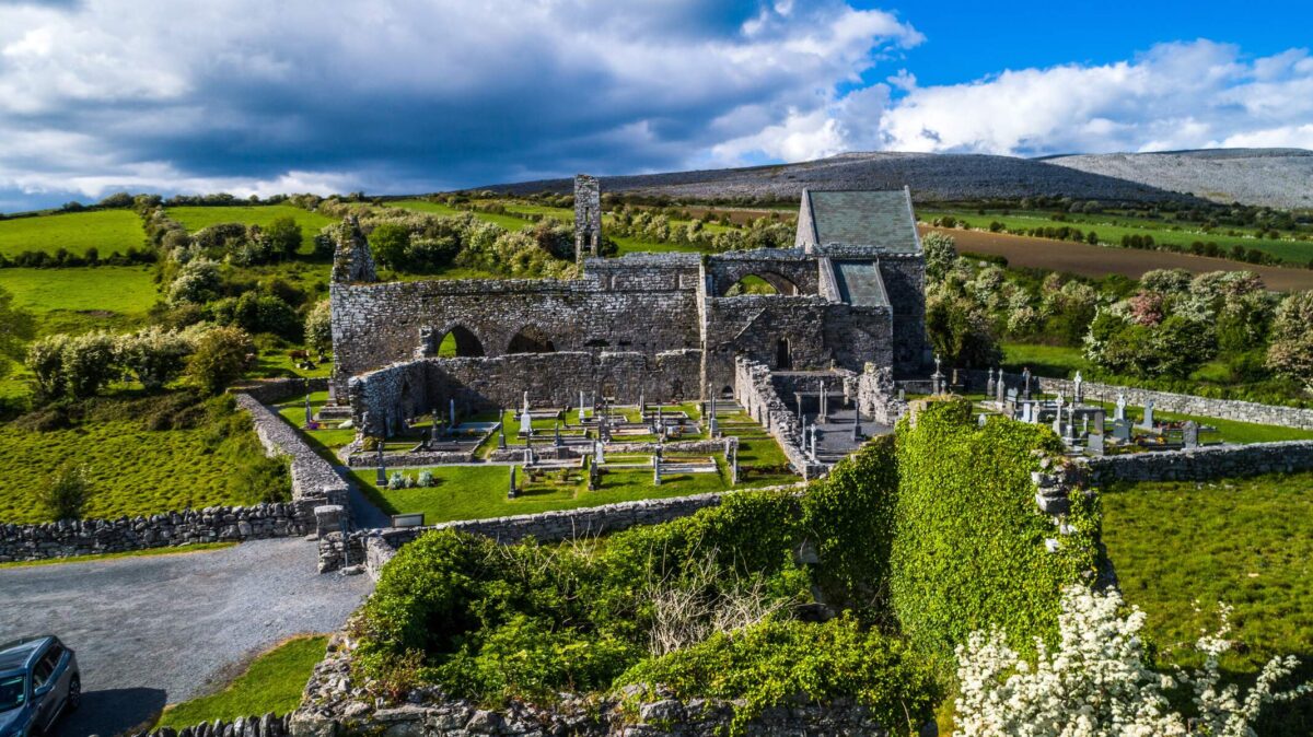 Man-made underground passage in Cappeen EastMan-made underground passage · 1186 yd
 KilnKiln, lime · 1.5 mi
 monumentmonument · 1.5 mi
 Green HillMountain / peak · 2.2 mi
 Castle RockNamed rock · 2.6 mi
 OCrowleys Castle (in Ruins)Castle, tower house · 4.3 mi
 Irish National Forestry FoundationNature reserve · 4.4 mi
 Summerhouse WoodForest · 4.5 mi
 Michael Collins MemorialMemorial · 4.5 mi
 Kilmurry WoodsPicnic place · 4.7 mi
 Kilmichael Ambush SiteMonument · 4.8 mi