What is recorded here
Situated on the summit of a spur on a SW-facing slope in undulating terrain. Not indicated on the 1st ed. (1840) OS 6-inch map but depicted as a small mound on the 1954 revision. Slight traces of a possible mound (14.5m NW-SE) roughly forming a semicircular low platform (H 0.5m) with stone protruding from the surface near the edge of the platform at W. The edge is not visible in the NE and SW quadrants. There is a depression in the interior at SW and towards the centre of the mound. The site was approved for inclusion in Land Project works in 1960 when it was considered to be an old tree-ring and so was levelled.
The above description is derived from 'The Archaeological Inventory of County Tipperary. Vol. 1 - North Tipperary' compiled by Jean Farrelly and Caimin O'Brien (Dublin: Stationery Office, 2002). In certain instances the entries have been revised and updated in the light of recent research.
Date of upload/revision: 22 September 2008
The monument record does not grant public access. Check the route and ask the landowner before entering private land.
- What survives
- Recorded monument
Places near here
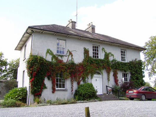 Beechmounthouse · 201 yd
 Enclosure in LoughanavattaEnclosure · 218 yd
 Hilltop enclosure in LoughanavattaHilltop enclosure · 550 yd
 Cherryhillhouse · 741 yd
 CastleCastle, Anglo-Norman masonry castle · 1480 yd
 Roscrea Petty Sessions HouseHeritage attraction · 1717 yd
 European ashEuropean ash · 1.2 mi
 Millennium GardenMemorial · 1.4 mi
 Bawn in DungarBawn · 1.4 mi
 Golden Grove HillMountain / peak · 1.5 mi
 Golden Grove WoodWood · 1.8 mi
 Eagle HillMountain / peak · 2.0 mi