What is recorded here
Situated on a slight rise in a gently undulating landscape, and at the crest of a gentle slope down to a N-S section of the River Blackwater which is c. 150m distant and c. 5m lower. This was once on the demesne of Liscartan House (ME025-009002-) c. 550m to the NNW and is in full view of Rathaldron House (ME025-11----) c. 270m to the NNE, on the other side of the river. It is depicted as a small copse on the 1836 edition of the OS 6-inch map and as a clump of trees on the 1908 edition. This is a grass-covered circular mound of earth and stones (diam. 23m; H 2.5m) that supports two trees. There are quarry holes on the NW side.
The above description is derived from the published 'Archaeological Inventory of County Meath' (Dublin: Stationery Office, 1987). In certain instances the entries have been revised and updated in the light of recent research.
Compiled by: Michael Moore
Date of upload: 10 July 2007
Revised: 29 March 2023
The monument record does not grant public access. Check the route and ask the landowner before entering private land.
- What survives
- Recorded monument
Places near here
 Rathaldron Ho.Castle, tower house · 311 yd
 Liscartan CastleCastle, tower house · 612 yd
 Church (in Ruins)Church · 695 yd
 Enclosure in NevinstownEnclosure · 786 yd
 Old CrossCross, Wayside cross · 844 yd
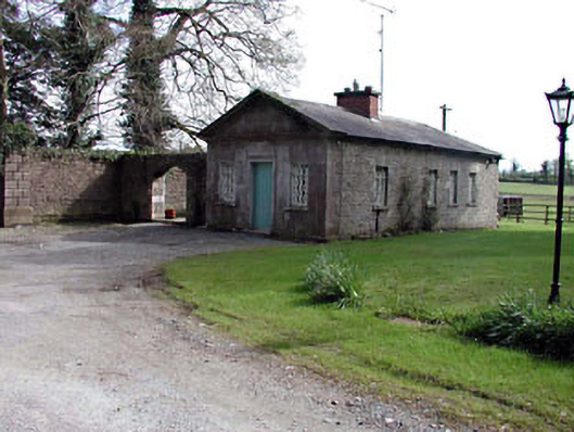 Ardbraccan Housegate lodge · 1493 yd
 Nangle CourtMemorial · 1.2 mi
 DurhamstownMountain / peak · 1.8 mi
 The RampartWood · 2.0 mi
 BohermeenMountain / peak · 2.3 mi
 The New Line RoadMemorial · 2.5 mi
 Donaghmore Round TowerHeritage attraction · 2.5 mi