What is recorded here
A well defined oval-shaped mound, composed of dark earth and stones 16.4m E-W × 11m N-S × 2.5m high. There has been removal of some of the mound recently on the NE side. It is situated on ground sloping slightly towards the W, N of the meeting of the Camowen and Owenerk rivers, in good cultivated land.
The above description was derived from the 'Archaeological Survey of County Donegal. A description of the field antiquities of the County from the Mesolithic Period to the 17th century.' Compiled by: Brian Lacey with Eamon Cody, Claire Cotter, Judy Cuppage, Noel Dunne, Vincent Hurley, Celie O'Rahilly, Paul Walsh and Seán Ó Nualláin (Lifford: Donegal County Council, 1983). In certain instances the entries have been revised and updated.
Date of upload: 22 September 2008
The monument record does not grant public access. Check the route and ask the landowner before entering private land.
- What survives
- Recorded monument
Places near here
 Gap of MarmoreHeritage attraction · 1303 yd
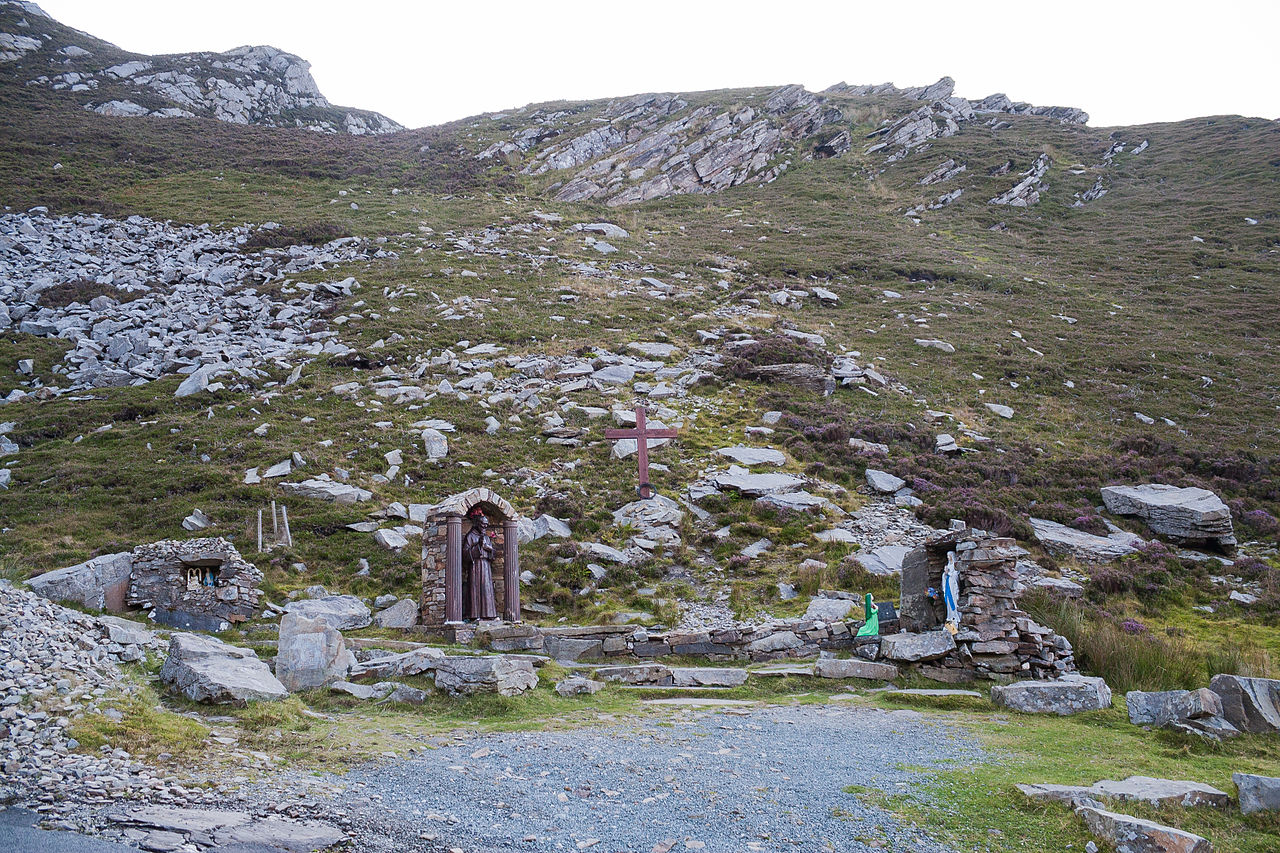 Saint Éigneach's WellHoly well · 1477 yd
 Mamore GapViewpoint · 1487 yd
 Urris HillsMountain / peak · 1.0 mi
 Mamore HillMountain / peak · 1.1 mi
 Gap of Mamore ViewpointViewpoint · 1.5 mi
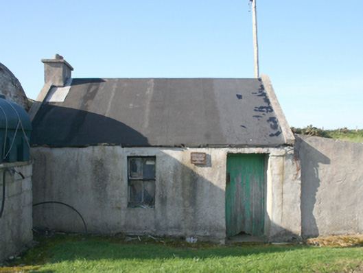 forge/smithyforge/smithy · 1.5 mi
 Promontory fortPromontory fort, coastal · 1.7 mi
 Gortleck Catholic Churchchurch/chapel · 1.9 mi
 Castle Ross (Site of)Castle, unclassified · 2.7 mi
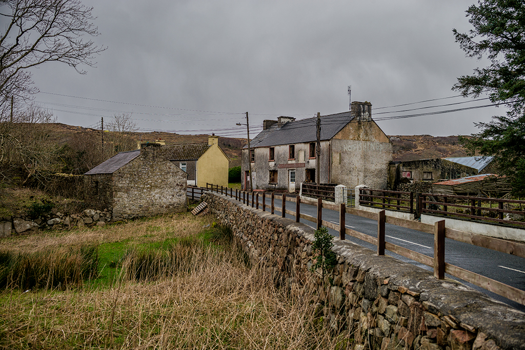 Saldána GalleryGallery · 2.9 mi
 Dunree HeadHeadland · 3.0 mi