What is recorded here
Situated on a steep N-facing slope at W end of the peat basin known as Park: the monument sits on a small terrace overlooking the extreme western end of the basin. There is no stream in the vicinity, but there is evidence of surface run- off and the ground immediately to S is marshy underfoot. It consists of a small low grassy mound (H 0.5m max.), roughly oval in plan (N–S 7.4m, E–W c. 0.7m, overall). Although clearly defined on N and S sides, it has faint edges on E and W. The whole centre of the mound is occupied by a well-defined rectangular, flat- bottomed depression (N–S 2m, E–W 2.7 max.). From its SE corner, a narrow channel (Wth 0.7m × D 0.3m max.) cuts through the side of the mound. Both the depression and channel support a thick growth of rushes, the line of which continues beyond the mound, curving off downhill for a distance of c. 2m. Though it bears a striking resemblance to a fulacht fia, there is no trace of any stone on the mound or in the depression. Moreover, the depression is very well defined in comparison to the normal trough area of a fulacht fia.
The above description is derived from: New Survey of Clare Island. Volume 5: Archaeology. Edited by Paul Gosling, Conleth Manning and John Waddell. (Royal Irish Academy, Dublin. 2007). In certain instances the entries have been revised and updated.
Date of upload: 4 December 2018
This remains an important historical record, but the official description says the monument is no longer visible or has been destroyed. The monument record does not grant public access. Check the route and ask the landowner before entering private land.
- What survives
- No visible remains or recorded as destroyed
Places near here
 Clare IslandIsland · 484 yd
 ScalpatruceMountain / peak · 584 yd
 Penitential station in StrakePenitential station · 1570 yd
 Mass-rock in Ballytoohy MoreMass-rock · 1641 yd
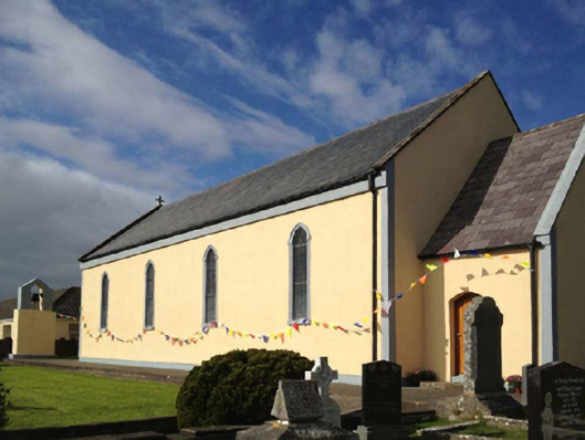 Catholic Church of the Sacred Heartchurch/chapel · 1644 yd
 Enclosure in Ballytoohy MoreEnclosure · 1.1 mi
 KnockmoreMountain / peak · 1.2 mi
 Granuaile's CastleCastle · 1.8 mi
 Acaill BheagIsland · 4.3 mi
 Turloughbeg StrandBeach / strand · 4.9 mi
 Kildavnet CastleCastle, tower house · 5.5 mi
 Caisle án GhráinneHeritage attraction · 5.5 mi