What is recorded here
Kilgulbin East holds a buried monastery where wet rock and low banks still mark the footprint of sacred rooms. A wide opening between the middle and outer banks may have served as the entrance, inviting travellers into a place where faith and fatigue met above the stream. The mound remains not as a grand ruin but as a shape the land remembers, waiting for someone to walk its hidden lines and imagine the prayers that once rose through the rain.
Ecclesiastical enclosure KE021-051---- is situated NW of a small stream which flows NE. The surrounding land is low-lying, wet and rocky.
The enclosure is possibly a trivallate ecclesiastical enclosure, within which is a square stone enclosure (KE021-051001-), possible foundations of a church (KE021-051002-), mounds and depressions (KE021-051003-).
A low bank surrounds the stone enclosure, and in its NW sector are several depressions revealing stones. A middle enclosing bank can be traced from the NE through E to S to SW. It is low and wide, measuring on average 8m wide and .5m high. A semi-circular structure is curved into the bank on its exterior side to the E. It is internally 22m N-S x 17m E-W and rises to .6m high. To the NE of this are two curving banks. Also, in the middle enclosing bank, to the S, the bank divides into two and forms a sub-oval area, 19m N-S and 56m E-W. The outer enclosing bank can only be traced from the E to S towards W. There is a 30m wide opening between the middle and outer bank, and it is possible that this marks the entrance to the monastic site.
See also Ardfert Cathedral (KE020-046002-), Glenderry (KE013-023001-) and Glandahalin East (KE014-001----).
The above description is derived from C. Toal, ‘North Kerry Archaeological Survey’. Dingle. Brandon in association with FAS Training and Employment Authority (1995), no. 838. In certain instances the entries have been revised and updated in the light of recent research.
Date of upload: 3 August 2013
A trivallate ecclesiastical enclosure, likely early medieval in date, indicating the presence of a monastic or religious settlement in a wet, low-lying landscape. Such enclosures are significant for understanding early Christian land use and settlement patterns in Ireland.
The monument record does not grant public access. Check the route and ask the landowner before entering private land.
- What survives
- Recorded monument
Places near here
 Church in Kilgulbin EastChurch · 45 yd
 Enclosure in Kilgulbin EastEnclosure · 1486 yd
 Man-made underground passage in BallysheenMan-made underground passage · 1583 yd
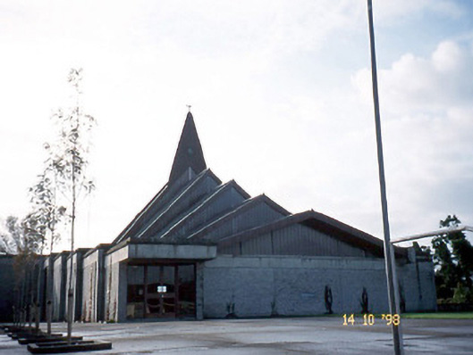 Saint Bernard's Catholic Churchchurch/chapel · 1.0 mi
 Tobar na MoltSpring · 1.8 mi
 Ballymacaquinn Castle (remains of)Castle · 2.1 mi
 Ardfert Franciscan FriaryVisitor information · 2.8 mi
 Ardfert FriaryVisitor information · 2.8 mi
 Statue of Roger CasementMemorial · 3.1 mi
 15th Centenary of the birth of St-BredanMemorial · 3.1 mi
 Ardfert CathedralHeritage attraction · 3.2 mi
 Site of CastleCastle, unclassified · 3.4 mi