What is recorded here
Kilcoursey holds a small mound beside the Clara to Kilbride road, marked by superstition and the loss of a cross during famine digging. The road cut through the hill, perhaps swallowing the cross and leaving behind a buried boundary between towns. What remains is a low ridge of earth where memory and myth still meet.
Unlocated mound within the townland of Kilcoursey, described in 1942 as 'Ths site of the cross (OF008-010), which has disappeared was at or close to the boundary of Kilbride Td. The road from Clara to Kilbride was sunk deep through the hill at the famine time, and the cross may then have disappeared. A small mound on the S side of road has some superstitions attached, but the site was probably on N side, as shown on OS' (ITA Survey 1942).
The above description is derived from the published 'Archaeological Inventory of County Offaly' (Dublin: Stationery Office, 1997). In certain instances the entries have been revised and updated in the light of recent research.
Date of upload: 23 May 2011
The monument record does not grant public access. Check the route and ask the landowner before entering private land.
- What survives
- Recorded monument
Places near here
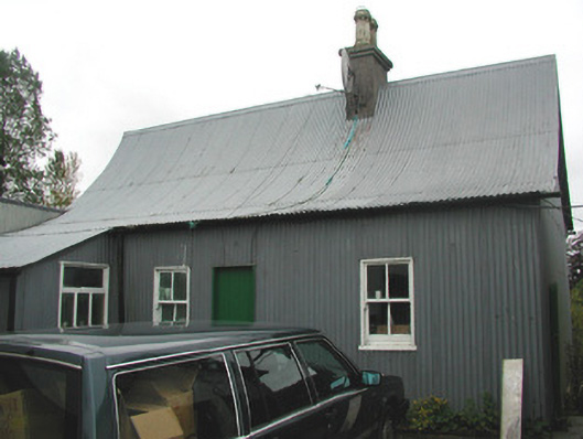 Beechmount Houseschool · 263 yd
 Kilcoursey Castle (in Ruins)Bawn · 411 yd
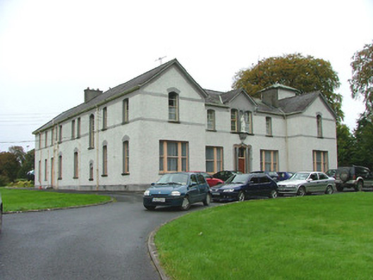 Saint Brigid's Conventconvent/nunnery · 438 yd
 Mound in KilcourseyMound · 649 yd
 Termon Cross (Site of)Cross, Termon cross · 771 yd
 Chapel HillForest · 892 yd
 Clara Bog BoardwalkHeritage attraction · 2.0 mi
 Kilmalady HillMountain / peak · 2.1 mi
 ToberaskeenSpring · 2.6 mi
 Gorteen CastleCastle, unclassified · 2.9 mi
 Roughan HillMountain / peak · 3.0 mi
 High WoodWood · 3.1 mi