What is recorded here
Taylor’s 1783 map marked the circular feature before modern surveys measured its twenty-metre diameter. The mound sits atop Mount Crawley, a gravel ridge in County Kildare where people have climbed for centuries to look across the land. Its centre is hollowed out, perhaps dug by curious hands or stripped for building material, leaving a shallow oval tray instead of a solid hill. What was removed is gone, but the ridge still holds the shape of human attention.
On a gravel ridge named ‘Mount Crawley’ on the OS 6-inch mapping. A circular feature is shown in this general location on Taylor's Map of County Kildare (1783). A low oval mound (diams. 20m; 10m; H 1m), the centre of which had been dug out, stands on the summit of the ridge (SMR file 1982).
Compiled by: Gearóid Conroy
Date of upload: 29 May 2012
Neolithic passage tomb, dating to approximately 3500–2500 BCE. Its location on a prominent gravel ridge suggests it was part of a broader ritual landscape associated with early farming communities in the region.
The monument record does not grant public access. Check the route and ask the landowner before entering private land.
- What survives
- Recorded monument
Places near here
 Rosetown RathFairy fort / earthen ringfort · 1375 yd
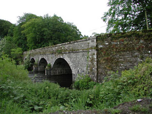 Athgarvan Bridgebridge · 1470 yd
 CastleCastle, unclassified · 1505 yd
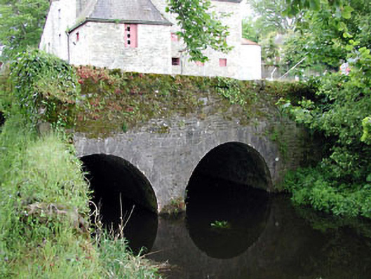 bridgebridge · 1531 yd
 Enclosure in GreatconnellEnclosure · 1537 yd
 IndicatedCastle, unclassified · 1.1 mi
 Newbridge SilverwareMuseum · 1.8 mi
 ElderElder · 2.9 mi
 Pollardstown Fen Nature ReserveNature reserve · 4.2 mi
 Hill of AllenMountain / peak · 6.4 mi
 Grand Canal WayVisitor information · 7.7 mi
 Battle of Kilrushbattle · 8.2 mi