What is recorded here
On a fairly steep NE-facing slope on the W side of small river valley, in rolling terrain, under tillage. There are fair to good views over valley, but the view is restricted to the W and SW by rising ground. A small mound (diam. c. 16m) is indicated on the 1946-7 revision of the OS 6-inch map, located c. 7m NW of a spring. On field inspection in 1987 the field had been reclaimed and the mound was not visible at ground level.
Compiled by: Jean Farrelly
Date of upload: 18 June 2020
A Neolithic passage tomb; dates to the 4th–3rd millennium BCE. Its location suggests it was part of a broader ritual landscape, possibly linked to early farming communities in the region.
The monument record does not grant public access. Check the route and ask the landowner before entering private land.
- What survives
- Recorded monument
Places near here
 Castle (in Ruins)Castle, tower house · 1410 yd
 Bonnetstown Hallcountry house · 1523 yd
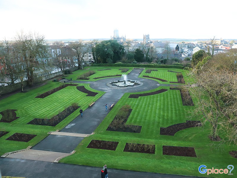 Enclosure in Keatingstown (crannagh By.)Enclosure · 1542 yd
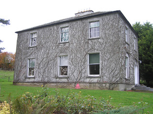 Troyswood Househouse · 1.2 mi
 Lacken Castle (site of)Archaeological place · 1.3 mi
 Enclosure in CloransheaEnclosure · 1.3 mi
 Lady DesartMemorial · 1.7 mi
 Turkey OakTurkey Oak · 2.1 mi
 Graveyard in ThreecastlesGraveyard · 2.3 mi
 European ashEuropean ash · 2.4 mi
 River LifeVisitor information · 3.2 mi
 The FordVisitor information · 3.2 mi