What is recorded here
On a rise in undulating pastureland. Classified by McCaffrey (1952, 18, no. 96a) as a 'Simple, round, flat-topped' barrow and described as a ‘slightly elliptical’ mound ‘28 feet x 26 feet overall and 3 feet high [8.5m by 7.9m; H 0.9m]’. A number of large boulders were embedded in it, particularly near its base. On inspection in December 1982 the mound was obscured by field-clearance rubble.
Compiled by: Galway Archaeological Survey, UCG
Date of upload: 12 November 2019
A Neolithic round barrow, dating to approximately 2500–2000 BCE. Its construction and form reflect early funerary practices in the region, though its wider archaeological significance remains limited due to lack of detailed excavation or context.
The monument record does not grant public access. Check the route and ask the landowner before entering private land.
- What survives
- Recorded monument
Places near here
 Killeely ChurchChurch · 737 yd
 Castlegar (in ruins)Castle, unclassified · 820 yd
 Dunkellin Castle (in ruins)Castle, tower house · 828 yd
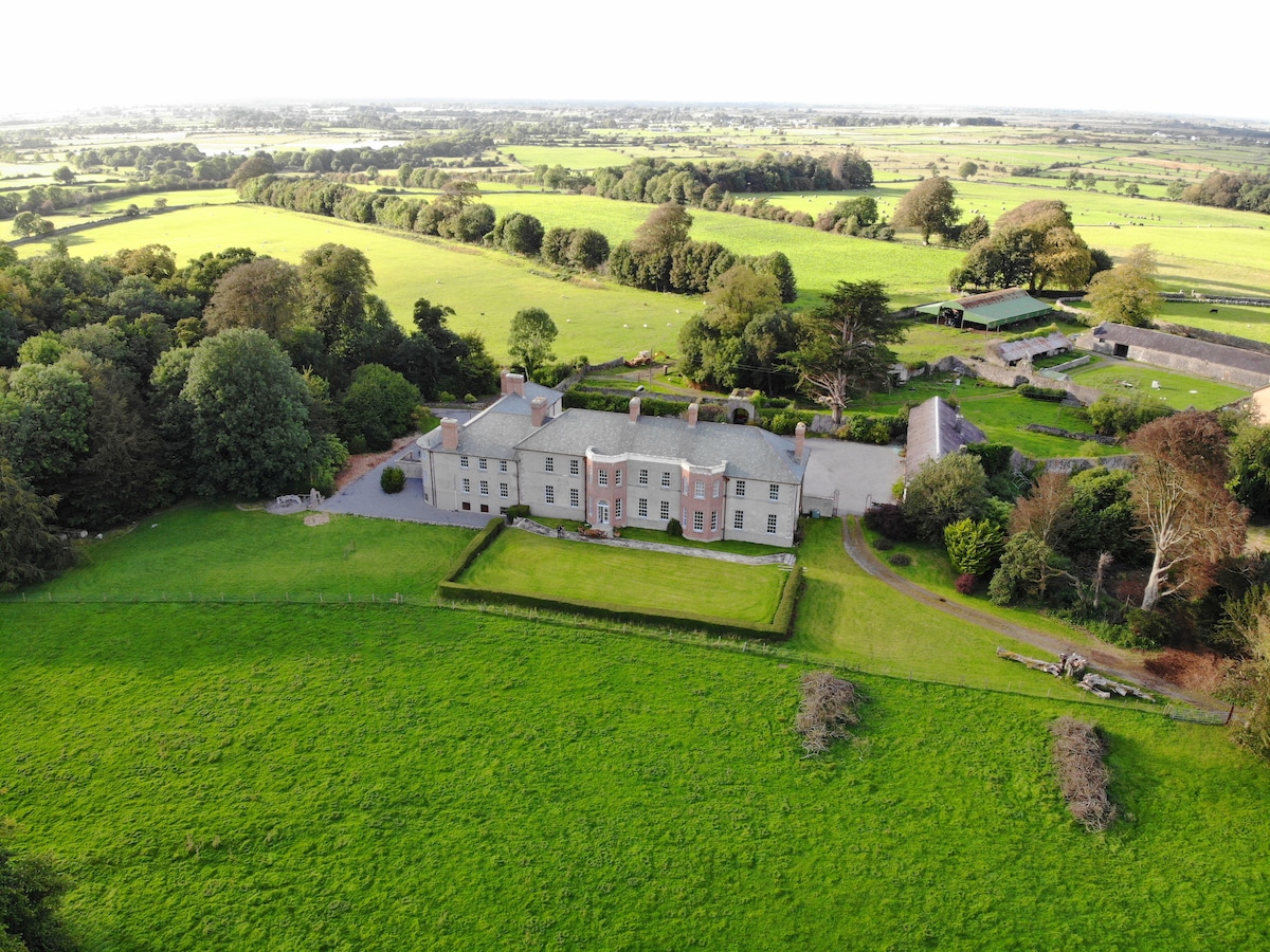 EnclosureEnclosure, large enclosure · 851 yd
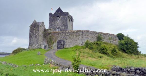 Man-made underground passage in Castlegar (dunkellin By.)Man-made underground passage · 855 yd
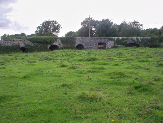 Dunkellin Bridgebridge · 931 yd
 Kilcornan ForestWood · 1.3 mi
 Kilcornan WoodWood · 1.8 mi
 Drumacoo Monastic SiteHeritage attraction · 2.5 mi
 MweenisharanIslet · 3.9 mi
 Drumharsna CastleHeritage attraction · 4.6 mi
 Fiddaun IslandIslet · 5.0 mi