What is recorded here
In average pasture, in a thicket of blackthorn and brambles, located on the E side of a low rise.
This mound is not indicated on the 1838 and 1922 OS 6-inch maps. It consists of a raised sub-circular concentration (12m E-W; 10m N-S, H c. 0.8m) of earth and stone, broadly slumped on the E side. There is a slight hollow or concave area at W. The top (diam. c. 7-8m) is covered with loose boulders amidst clusters of smaller stones that appear to be the result of field clearance. A rath (MA038-088) is located 40m to S.
Compiled by: Jane O'Shaughnessy
Date of upload: 15 August 2019
The monument record does not grant public access. Check the route and ask the landowner before entering private land.
- What survives
- Recorded monument
Places near here
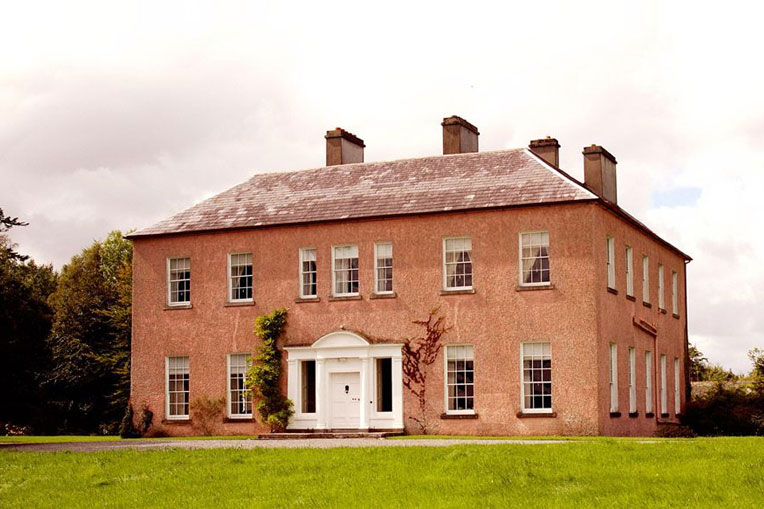 Enclosure in Castlehill (tirawley By., Crossmolina. Par.)Enclosure · 291 yd
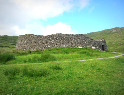 Skehanagh FortArchaeological place · 676 yd
 Ballyduffy CastleCastle, unclassified · 1.0 mi
 Church in ruinsChurch · 1.2 mi
 Catholic Church of Our Ladychurch/chapel · 1.2 mi
 RathmoreCastle, motte · 1.3 mi
 Grave of the KingsArchaeological place · 1.7 mi
 Titanic Memorial ParkMemorial · 1.9 mi
 Castle IslandIslet · 2.3 mi
 Roe IslandIslet · 2.6 mi
 NephinMountain / peak · 3.1 mi
 KnockaffertaghMountain / peak · 6.6 mi