What is recorded here
In pasture, located on a gentle S-facing slope, just below the summit of an E–W ridge. Croagh Patrick is visible on the far horizon to SW and Nephin Mountain to W.
This mound is not shown on the 1837 and 1919 OS 6-inch maps. It was listed in the SMR (1991) and RMP (1997) on the basis of an aerial photograph (OS 2 8791-2; Roll 216, pr. 9; SMR file). It consists of a sod-covered, circular platform (7.5m N–S; 7.4m E–W; H 0.5m at N, 1m at S) of earth and stone. Stones protrude randomly around the perimeter, forming a rough kerb. There is a slight hollow at E on the level top, from which a stone protrudes. Two bowl barrows (MA062-093001-; MA062-093002-) are located to W, c. 140m and 200m, respectively, on the summit of the same ridge.
Compiled by: Jane O’Shaughnessy
Date of upload: 9 December 2020
The monument record does not grant public access. Check the route and ask the landowner before entering private land.
- What survives
- Recorded monument
Places near here
 IndicatedFairy fort / earthen ringfort · 431 yd
 ToberbrideHoly well · 1471 yd
 Brabazon WoodsForest · 1633 yd
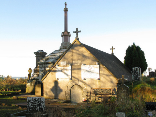 mausoleummausoleum · 1732 yd
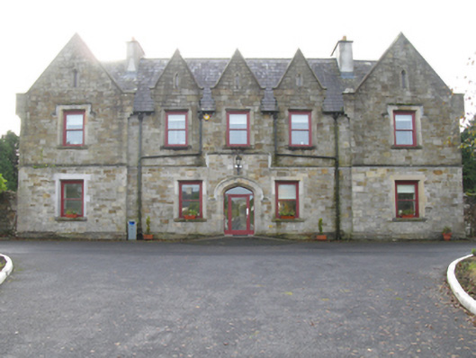 Swinford Union Workhouseworkhouse · 1.0 mi
 Procession Of The SoulsMemorial · 1.1 mi
 Youth Memorial GardenMemorial · 1.4 mi
 HawthornHawthorn · 3.2 mi
 Castle (in Ruins)Castle, unclassified · 3.5 mi
 Hennigan's Heritage CentreHeritage attraction · 3.6 mi
 Thorn CaveCave · 3.7 mi
 Kiltimagh MuseumMuseum · 6.9 mi