What is recorded here
In grazing pasture, located on a rise in undulating terrain.
This possible barrow is not shown on any edition of the OS maps. The remains consist of a low, circular platform (diam. 6m; H 0.3-0.4m) with a hint of a raised outer rim. It appears to be primarily earthen in composition. A single hawthorn bush grows at the SSE edge of the platform, at the base of which is a concentration of small, angular stones, most likely field clearance.
An embanked barrow (MA092-005----) located c. 250m to W is visible from this site, and c. 300m to NNW there is a ringbarrow (MA092-006----).
Compiled by: Jane O’Shaughnessy
Date of upload: 25 May 2022
Possible Neolithic or Bronze Age barrow; its low circular platform suggests a funerary or ceremonial function. The lack of cartographic record and minimal remains indicate it may be an unrecorded or degraded burial monument of prehistoric significance.
The monument record does not grant public access. Check the route and ask the landowner before entering private land.
- What survives
- Recorded monument
Places near here
 IndicatedEnclosure · 985 yd
 CastleCastle, unclassified · 1.1 mi
 Promontory fortPromontory fort, inland · 1.1 mi
 Mannin Housefarm house · 1.2 mi
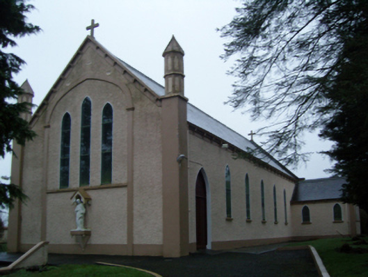 Saint Anne's Catholic Churchchurch/chapel · 1.4 mi
 Knock MuseumMuseum · 2.6 mi
 Knock ShrineHeritage attraction · 2.6 mi
 Rath Castle in ruinsCastle, tower house · 2.8 mi
 East Mayo Brigade MonumentMemorial · 3.7 mi
 I'll Send You The FareMemorial · 6.3 mi
 Oak WoodForest · 9.5 mi
 Geoffrey's WoodForest · 10 mi