What is recorded here
This possible monument came to light during the course of fieldwork on the AranLIFE Farming Project (2014-2018) (see www.aranlife.ie). It is located in rough grazing land at the NW end of field in an area outcropping limestone pavement. It consists of a mound of earth and stone that is roughly circular in plan (diam. 5-7m; max. H 0.3m). It is best preserved from E to S and tapers out at NW.
Compiled by: Olive Alcock
Date of upload: 11 December 2018
The monument record does not grant public access. Check the route and ask the landowner before entering private land.
- What survives
- Recorded monument
Places near here
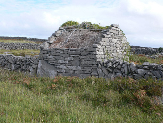 outbuildingoutbuilding · 223 yd
 TobernakinnerigaHoly well · 787 yd
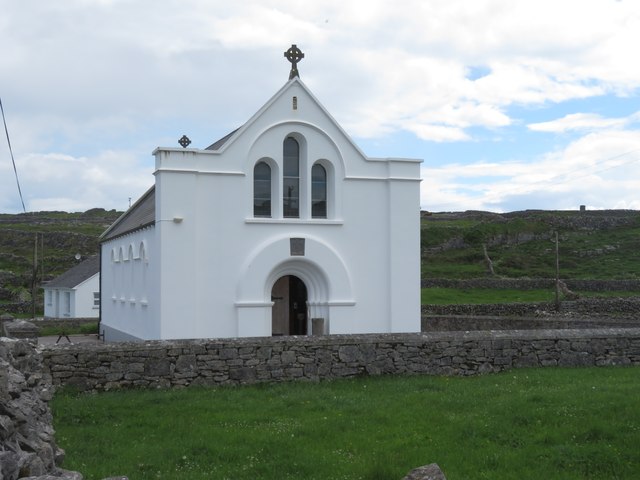 Inis MeáinIsland · 811 yd
 TemplesaghtmacreeChurch · 815 yd
 Cross in Ceathrú An LisínCross · 845 yd
 Dún ChonchúirHeritage attraction · 882 yd
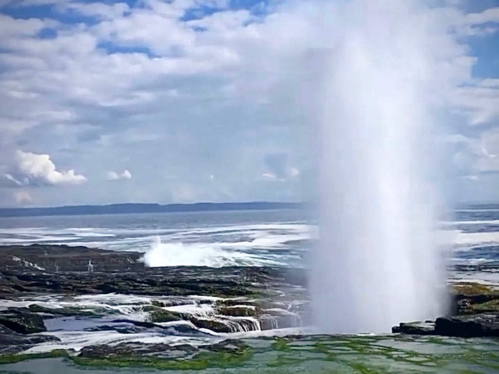 puffing holeHeritage attraction · 1.3 mi
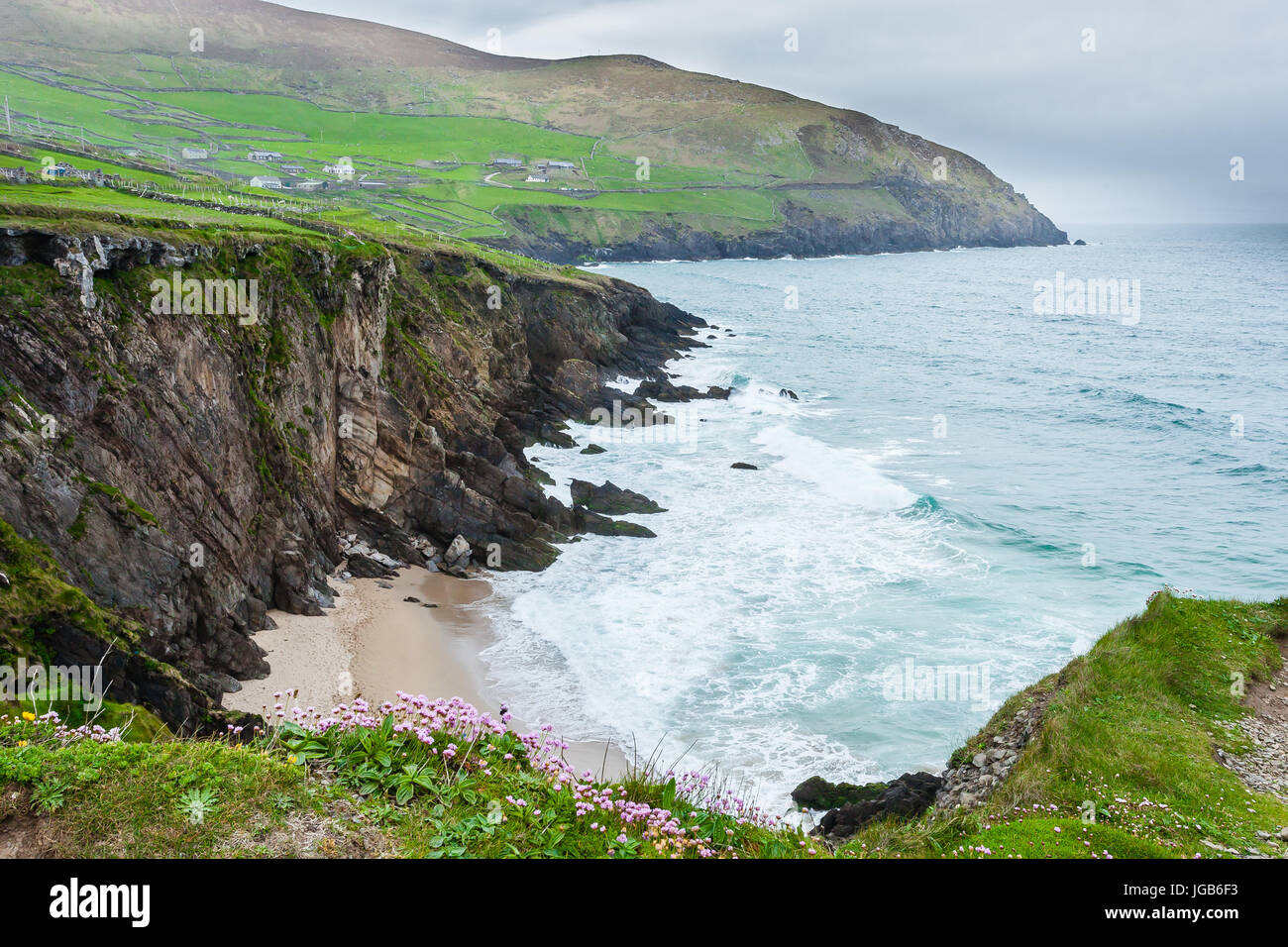 Ceann na FaochanaHeadland · 2.4 mi
 Inis OírrIsland · 2.8 mi
 Lár na TráBeach / strand · 3.0 mi
 Caisleán Uí BhriainCastle · 3.1 mi
 Port na CilleBeach / strand · 3.2 mi