What is recorded here
A 'Mound' is marked here on the 1903 ed. of the OS 6-inch map.
The monument record does not grant public access. Check the route and ask the landowner before entering private land.
- What survives
- Recorded monument
Places near here
 OutlinedHoly well · 14 yd
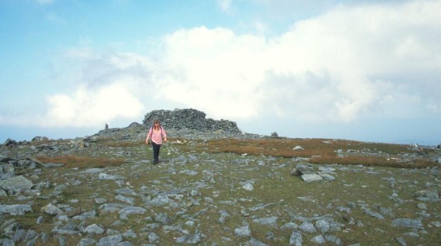 Slieve SnaghtMountain / peak · 18 yd
 Wee Slieve SnaghtMountain / peak · 953 yd
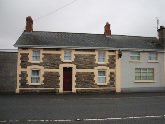 North Polerailway station · 2.4 mi
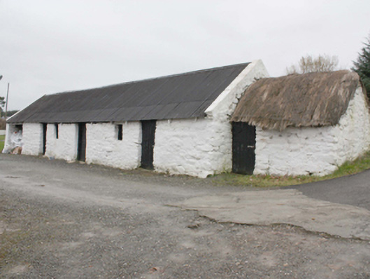 outbuildingoutbuilding · 2.7 mi
 Enclosure in FoffanaghEnclosure · 3.2 mi
 Glendowen craft shopHeritage attraction · 3.7 mi
 Carndonagh Early Church GraveyardGraveyard · 4.4 mi
 Clonmany Early Church GraveyardGraveyard · 6.0 mi
 Glenevin WaterfallWaterfall · 6.3 mi
 Glenevin Waterfall, Clonmanywaterfall · 6.3 mi
 Glenevin Waterfall WalkOfficial walking route · 6.4 mi