What is recorded here
Situated on natural rock outcrop in undulating countryside. An irregular-shaped flat-topped mound (H 1.5m at SW, 0.4m at NE; base diam. 18m N-S; 12m E-W), scarped along its SW face giving it a man-made appearance. It is probably natural rock outcrop which was scarped at SW and flattened on top during the construction of a road which intersects the mound at S. Of doubtful antiquity; not marked on the 1st ed. OS 6-inch map.
The above description is derived from 'The Archaeological Inventory of County Tipperary. Vol. 1 - North Tipperary' compiled by Jean Farrelly and Caimin O'Brien (Dublin: Stationery Office, 2002). In certain instances the entries have been revised and updated in the light of recent research.
Date of upload/revision: 22 September 2008
The monument record does not grant public access. Check the route and ask the landowner before entering private land.
- What survives
- Recorded monument
Places near here
 Finnoe Schoolschool · 172 yd
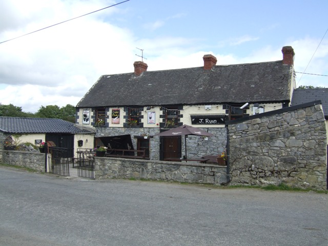 Carney CastleCastle · 1666 yd
 Settlement desertedSettlement deserted, medieval · 1682 yd
 Enclosure in Carneywoodlands,drummondEnclosure · 1.1 mi
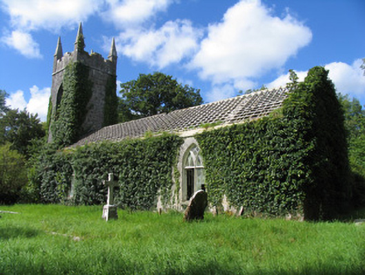 Saint Ruadan's Church (Finnoe)church/chapel · 1.2 mi
 Tullan CastleCastle · 1.8 mi
 Carrickboy WoodForest · 2.6 mi
 Borris WoodWood · 3.1 mi
 Knigh HillMountain / peak · 3.7 mi
 Buggane IslandIslet · 4.4 mi
 Keavy IslandIslet · 4.6 mi
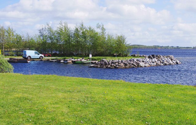 Lough DergNationally known place · 5.1 mi