What is recorded here
In improved pasture, on an E-facing slope. A possible enclosure (TS060-030001-) is located c. immediately to the S and a large mound (TS060-030002-) is located c. 25-36m to the N-NW respectively. It is depicted on the 1906 edition OS 6-inch map as a circular mound (diam. c. 9m), which appears to have been truncated by a field boundary which runs E-W through the S portion. The mound is not visible at ground level.
Compiled by: Jean Farrelly
Date of upload: 10 January 2013
The monument record does not grant public access. Check the route and ask the landowner before entering private land.
- What survives
- Recorded monument
Places near here
 Site of ChurchChurch · 617 yd
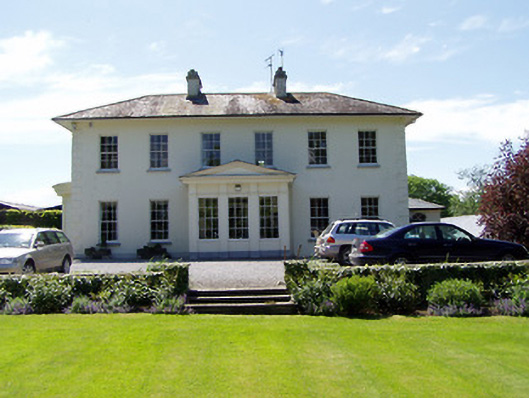 Camus Parkcountry house · 797 yd
 Camus Castle (in ruins)Castle, unclassified · 1024 yd
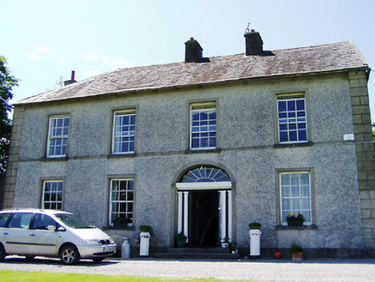 Ballynahinch Househouse · 1097 yd
 Enclosure in Ballynahinch (ballygriffin Par.)Enclosure · 1400 yd
 Ballynahinch Castle (in ruins)Castle, tower house · 1.0 mi
 Hore AbbeyHeritage attraction · 1.6 mi
 Rock of CashelHeritage attraction · 1.9 mi
 The Rock Of CashelVisitor information · 1.9 mi
 Black mulberryBlack mulberry · 2.0 mi
 Dundrum Woods (Marl Bog)Forest · 5.7 mi
 Kilbrista ChurchChurch · 1131 yd