What is recorded here
Within a forestry plantation, c. 3m to the W of a stream. This oval flat-topped earthen mound (27m N-S;
21.7m E-W; H 1.8m), with steeply sloping sides, is composed of earth. Trees have been planted on it.
Compiled by: Galway Archaeological Survey, UCG
Date of upload: 18 July 2019
The monument record does not grant public access. Check the route and ask the landowner before entering private land.
- What survives
- Recorded monument
Places near here
 Bookeen Hallchurch/chapel · 564 yd
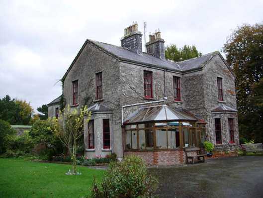 Tooluban Househouse · 722 yd
 IndicatedFairy fort / earthen ringfort · 1240 yd
 Man-made underground passage in Carrowroe North (athenry By.)Man-made underground passage · 1291 yd
 Castle (in ruins)Castle, tower house · 1578 yd
 Badhbunmore Castle (in ruins)Castle, unclassified · 1.8 mi
 Turoe StoneHeritage attraction · 2.7 mi
 Moyard WoodWood · 3.5 mi
 Blake's IslandIslet · 4.3 mi
 Barrack IslandIslet · 4.4 mi
 Long PointHeadland · 5.3 mi
 Athenry AbbeyHeritage attraction · 5.8 mi