What is recorded here
In rough grazing, on an E-facing slope. The monument, which is depicted on the 1923 OS 6-inch map as a circular mound (diam. c. 10m), has been levelled. The immediate area of the site is noticeably marshy and covered with rushes but no trace of the mound is evident. According to local information the mound was levelled many years ago, and it was known as 'Lisheen'.
Compiled by: Denis Power
Date of upload: 26 August 2011
A Neolithic passage tomb, likely dating to the 4th–3rd millennium BCE. Its location on a prominent slope and depiction as a circular mound suggest it was part of a broader ritual landscape, though its current state prevents detailed assessment of its significance.
The monument record does not grant public access. Check the route and ask the landowner before entering private land.
- What survives
- Recorded monument
Places near here
 Lisnagreeve - Hachured (1923Fairy fort / earthen ringfort · 1122 yd
 Castle (in ruins)Castle, tower house · 1186 yd
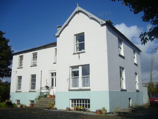 Rathronan Houserectory/glebe/vicarage/curate's house · 1358 yd
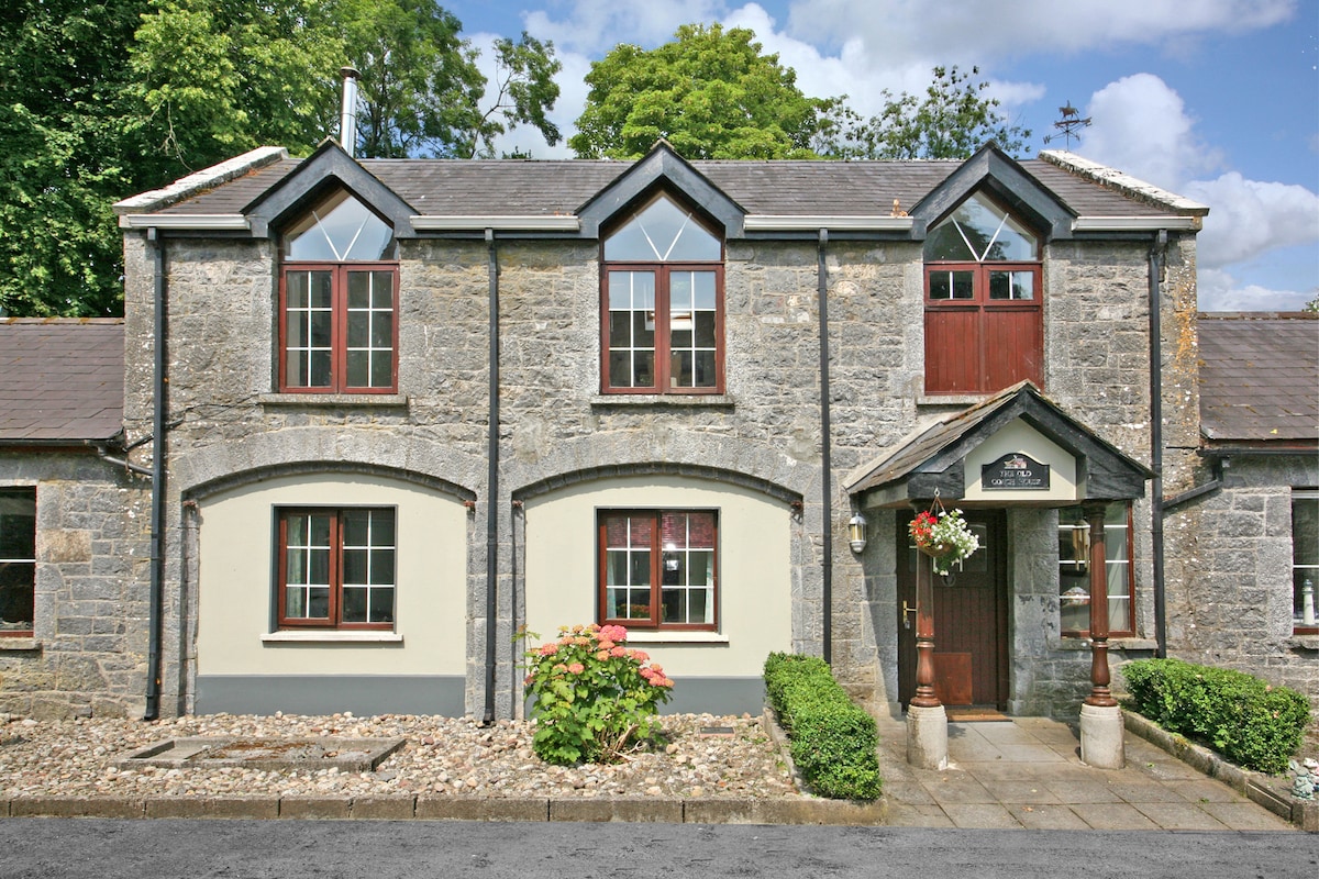 Enclosure in CahermoyleEnclosure · 1442 yd
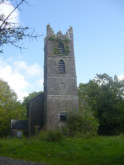 Rathronan Churchchurch/chapel · 1557 yd
 CahermoyleCastle, unclassified · 1.2 mi
 St. Luke's WellSpring · 1.3 mi
 St. Kieran's WellSpring · 2.8 mi
 Limerick GreenwayWalking route · 5.3 mi
 European ashEuropean ash · 5.3 mi
 Monterey CypressMonterey Cypress · 6.8 mi
 Gammarel PointHeadland · 6.9 mi