What is recorded here
On a slight W-facing slope in pasture in an unreclaimed portion of a field and within a large multiperiod field system (CL009-059001-). A number of small subcircular grass-covered mounds (diam c. 5-7m) are visible on Digital Globe (2011-2013) and on OSi orthophotography (MapGenie 2013-2018).
Compiled by: Mary Tunney
Date of upload: 16 May 2023
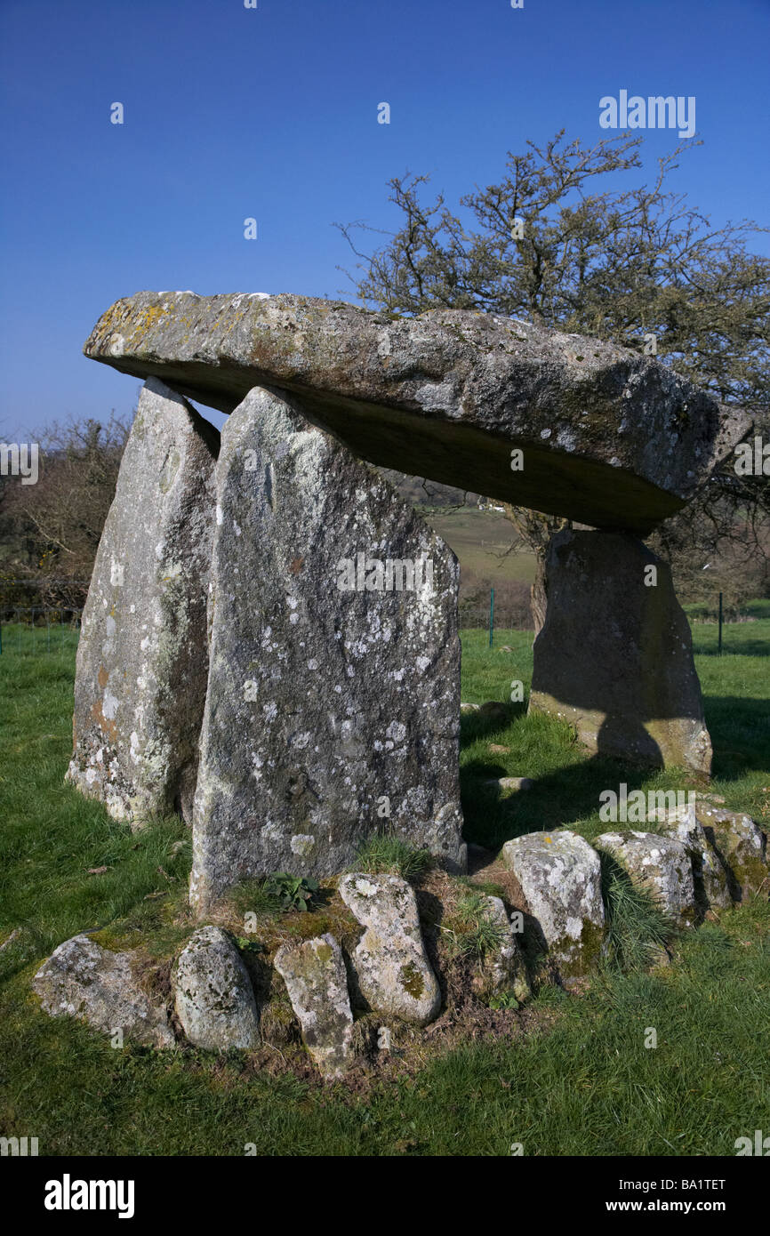
A Neolithic burial mound, likely dating to the 4th–3rd millennium BCE. Its location within a multiperiod field system suggests continuity of landscape use and possible ritual significance in the prehistoric settlement pattern.
The monument record does not grant public access. Check the route and ask the landowner before entering private land.
- What survives
- Recorded monument
Places near here
 Cross (Site of)Cross · 314 yd
 Enclosure in Ballykeel SouthEnclosure · 502 yd
 High CrossHeritage attraction · 535 yd
 Saint Fachtnan's Cathedralcathedral · 550 yd
 Burren Centre KilfenoraVisitor information · 609 yd
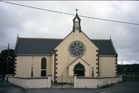 Saint Fachanan's Catholic Churchchurch/chapel · 639 yd
 CashlaunawoggaCastle, tower house · 649 yd
 Caherminnaun Castle (in ruins)Castle, unclassified · 1.0 mi
 Ballyteigue Nature ReserveNature reserve · 2.9 mi
 Cahermacnaghten CashelHeritage attraction · 3.6 mi
 Cullaun 5 (C5b)Cave · 3.9 mi
 Cullaun 5 (C5)Cave · 4.1 mi