What is recorded here
In pasture, located at the NW end of a rise, giving excellent views in all directions, with Nephin Mountain and the Nephin Beg range prominent on the far horizon to SW.
This mound is not shown on the 1838 and 1929 OS 6-inch maps. It has been damaged, and is now evident as a roughly circular, sod-covered area of disturbed ground (diam. c. 19m; H 0.55m at SE, 1m at NW) with an uneven surface of hunps and hollows, and much angular stones protruding from the sod. According to local information, it is the levelled remains of a mound or cairn, which was traditionally known as a ‘síodan’ (SMR file: pers. comm. Jim Gilvarry 1988 & 91).
Compiled by: Jane O’Shaughnessy
Date of upload: 7 May 2019
The monument record does not grant public access. Check the route and ask the landowner before entering private land.
- What survives
- Recorded monument
Places near here
 IndicatedFairy fort / earthen ringfort · 662 yd
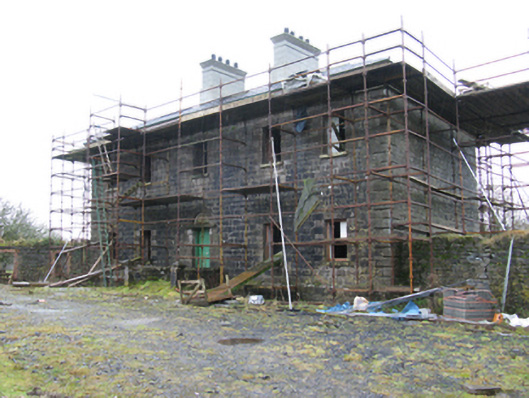 Ballybroony Housecountry house · 849 yd
 TobernasoolHoly well · 1007 yd
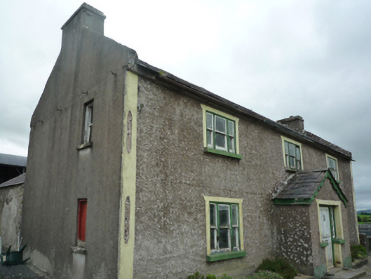 Foxboroughfarm house · 1024 yd
 Ballinteean CastleCastle · 1159 yd
 Bawn in FarraghBawn · 1.2 mi
 Battle of Killalabattle · 2.5 mi
 Battlefields of MoyneBattlefield · 2.6 mi
 Green IslandIslet · 2.8 mi
 Moyne AbbeyHeritage attraction · 2.8 mi
 Gortabradawn PointHeadland · 3.1 mi
 Barnasock PointHeadland · 3.3 mi