What is recorded here
In pasture, located on the S-facing slope of an E–W ridge overlooking the now drained expanse of Mullafarry Lough.
The townland name, Ballinteean or ‘Baile an t-siodan’ is said to have derived from a mound or tumulus traditionally known as ‘Siodan’ (SMR file: pers. comm. Jim Gilvarry, 1988). According to local information, there was a circular mound, c. 1.5m high, at roughly this location, which was levelled many years ago. There is no visible trace at ground level.
Compiled by: Jane O’Shaughnessy
Date of upload: 7 May 2019
A Neolithic tumulus; significant as a possible burial or ceremonial mound, reflecting early agricultural settlement patterns in the region.
This remains an important historical record, but the official description says the monument is no longer visible or has been destroyed. The monument record does not grant public access. Check the route and ask the landowner before entering private land.
- What survives
- No visible remains or recorded as destroyed
Places near here
 Ballinteean CastleCastle · 228 yd
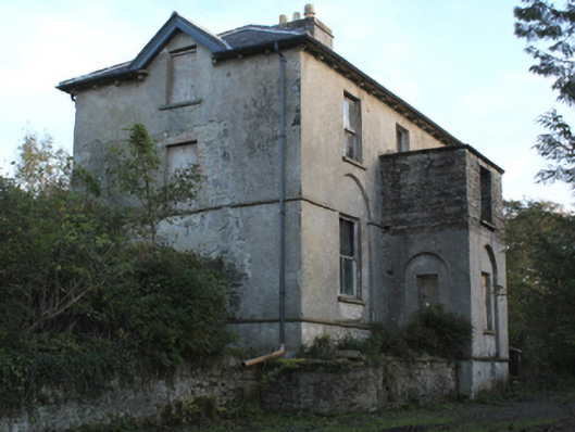 rectory/glebe/vicarage/curate's houserectory/glebe/vicarage/curate's house · 1373 yd
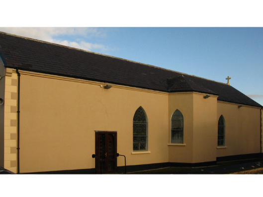 Catholic Church of the Holy Rosarychurch/chapel · 1406 yd
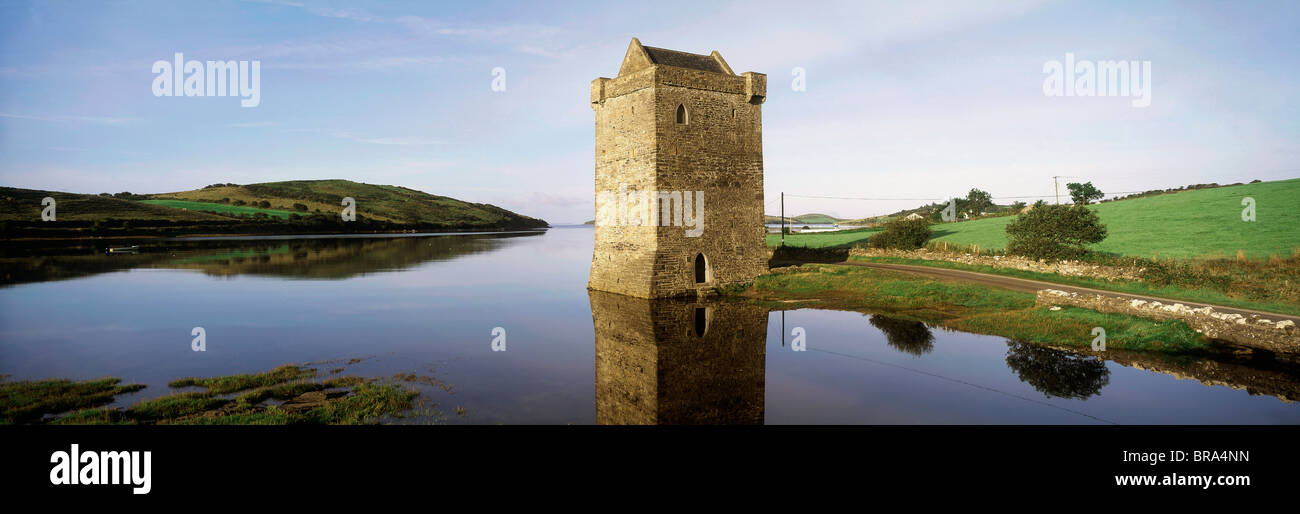 Cullahoof FortFairy fort / earthen ringfort · 1579 yd
 CastleCastle, unclassified · 1669 yd
 Battlefields of MoyneBattlefield · 2.0 mi
 Moyne AbbeyHeritage attraction · 2.1 mi
 Battle of Killalabattle · 2.2 mi
 Gortabradawn PointHeadland · 2.3 mi
 Green IslandIslet · 2.5 mi
 Barnasock PointHeadland · 2.6 mi