What is recorded here
An overgrown earthen mound situated in marshy pasture on a N facing slope. It measures 8m N-S, 4m E-W and slopes up from ground level at S to a maximum height of 1.5m at N. It is shown on the 2nd edition of the OS map as a small, roughly circular mound.
The above description is derived from J. Cuppage, ‘Corca Dhuibhne. Dingle Peninsula archaeological survey. Ballyferriter. Oidhreacht Chorca Dhuibhne’ (1986), no. 218. In certain instances the entries have been revised and updated in the light of recent research.
Date of upload: 4 August 2013
The monument record does not grant public access. Check the route and ask the landowner before entering private land.
- What survives
- Recorded monument
Places near here
 Man-made underground passage in An Cheathrú ThoirMan-made underground passage · 647 yd
 Eask Towerbeacon · 992 yd
 Cnoc na CeathrúnMountain / peak · 1006 yd
 ToberinirtHoly well · 1021 yd
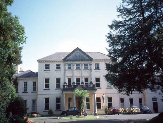 Coláiste Ídecountry house · 1519 yd
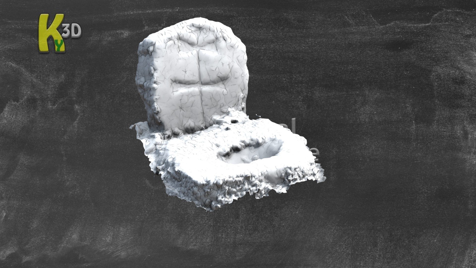 CastleCastle, unclassified · 1710 yd
 Site of Ballingolin CastleArchaeological place · 1716 yd
 Memorial to all who lost their lives in our seas.Memorial · 1734 yd
 Hussy's FollyHeritage attraction · 1.1 mi
 Dingle Marina Dive CentreHeritage attraction · 1.1 mi
 Charles HaugheyMemorial · 1.2 mi
 10Cliff · 1.5 mi