What is recorded here
Lying just S of a small stream, with a fairly good view in all directions, univallate rath KE021-025---- has been much levelled by cattle.
About 9.5m NE of this rath is an oval raised area (KE021-025002-), 14m N-S and 10m E-W internally. It rises to c 1.4m above the external ground level. This mound is possibly connected to the rath in some way.
The above description is derived from C. Toal, ‘North Kerry Archaeological Survey’. Dingle. Brandon in association with FAS Training and Employment Authority (1995), no. 711. In certain instances the entries have been revised and updated in the light of recent research.
Date of upload: 2 August 2013
A Neolithic passage tomb; dates to the 4th–3rd millennium BCE. Its location near a rath suggests later agricultural or settlement activity in a historically significant landscape.
The monument record does not grant public access. Check the route and ask the landowner before entering private land.
- What survives
- Recorded monument
Places near here
 Fairy fort / earthen ringfort in AghanacrinnaFairy fort / earthen ringfort · 1 yd
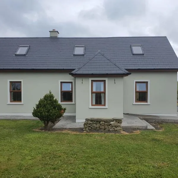 Enclosure in RathscannelEnclosure · 699 yd
 Abbeydorney Monastery (in ruins)Religious house, Cistercian monks · 1569 yd
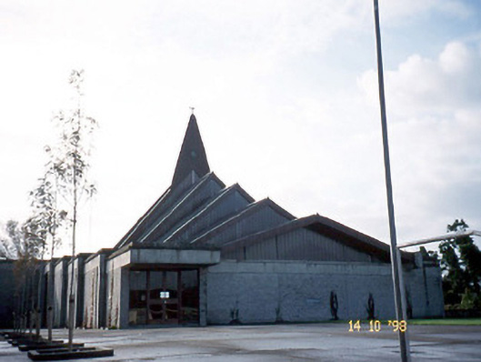 Saint Bernard's Catholic Churchchurch/chapel · 1.4 mi
 Ballymacaquinn Castle (remains of)Castle · 1.9 mi
 Kilflynn Nature ReserveNature reserve · 2.4 mi
 Tobar na MoltSpring · 3.7 mi
 CastleCastle, unclassified · 4.4 mi
 CruslineMountain / peak · 4.5 mi
 Ardfert Franciscan FriaryVisitor information · 4.7 mi
 Ardfert FriaryVisitor information · 4.7 mi
 15th Centenary of the birth of St-BredanMemorial · 5.0 mi