
What is recorded here
In undulating pasture. This monument, which is depicted as a circular mound (diam. c. 15m) on the 1923 OS 6-inch map, has been levelled. No trace of the mound was evident when the site was inspected.
Compiled by: Denis Power
Date of upload: 26 August 2011
The monument record does not grant public access. Check the route and ask the landowner before entering private land.
- What survives
- Recorded monument
Places near here
 Enclosure in Abbeyfeale EastEnclosure · 268 yd
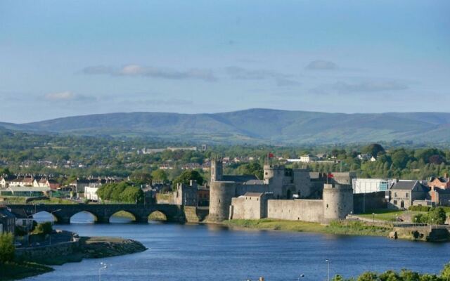 Mound in Kilkinlea UpperMound · 1135 yd
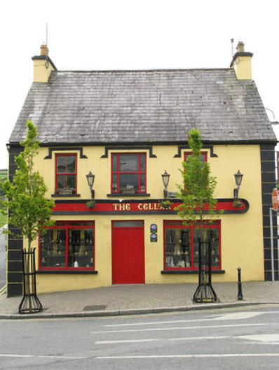 public housepublic house · 1571 yd
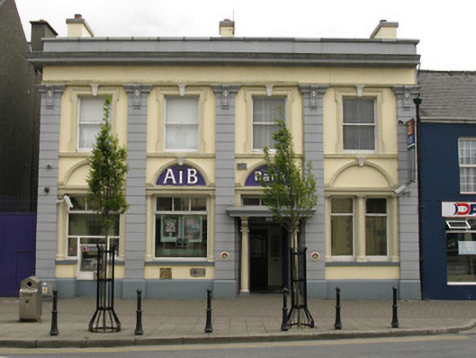 Allied Irish Bankbank/financial institution · 1638 yd
 Purt CastleCastle · 2.2 mi
 Barnagh HillMountain / peak · 4.7 mi
 Three CountiesPicnic place · 6.1 mi
 CastleCastle, tower house · 8.1 mi
 KnockateeMountain / peak · 8.6 mi
 John B. KeaneMemorial · 9.1 mi
 Holocaust MemorialMemorial · 9.1 mi
 Kerry Writers' MuseumMuseum · 9.5 mi
Other information
Photo: Credit not shown in the picture search · Rights wording not checked; contact us if this picture should be removed