What is recorded here
The official Northern Ireland record identifies this as MOUND & ENCLOSURE - RING BARROW?. Recorded period: PREHISTORIC; UNCERTAIN. Recorded protection: Scheduled. The official map point was placed at the centre of the recorded archaeological site from the source map reference.
The monument record does not grant public access. Check the route and ask the landowner before entering private land.
- What survives
- Recorded monument
Places near here
 A.P. SITEA.P. SITE, 2 circular enclosures · 504 yd
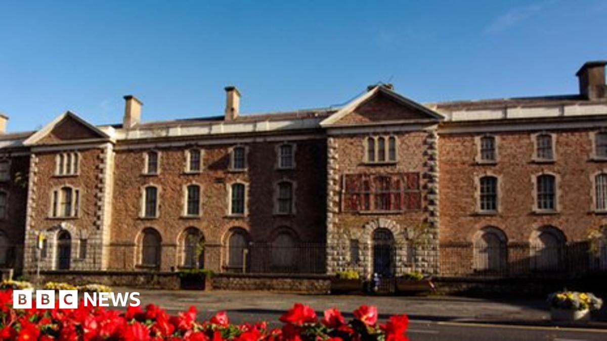 ENCLOSURE (unlocated) in BreaghyENCLOSURE (unlocated) · 744 yd
 St. Vindic's ChurchChurch · 1145 yd
 TYNAN VILLAGE CROSS in TynanTYNAN VILLAGE CROSS · 1178 yd
 Harry LaveryMemorial · 2.6 mi
 Old WoodForest · 2.6 mi
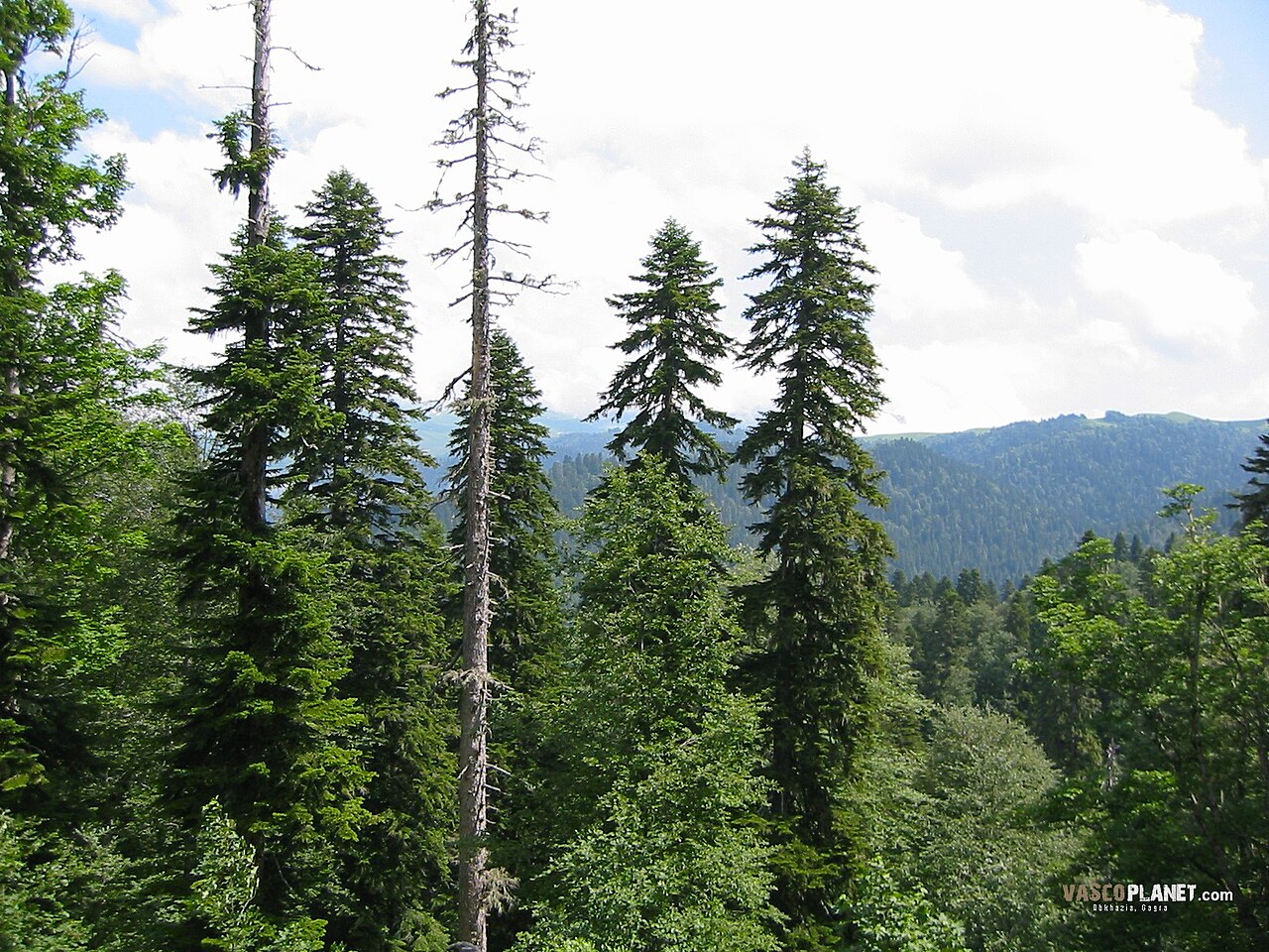 Caucasian FirCaucasian Fir · 3.0 mi
 Navan FortArchaeological place · 5.0 mi
 Mullacreevie ambushambush · 6.0 mi
 CHURCH & GRAVEYARD: TASSAGH GRAVEYARD in TassaghCHURCH & GRAVEYARD: TASSAGH GRAVEYARD · 6.4 mi
 No 5 Vicars' HillMuseum · 6.6 mi
 Abbey StreetVisitor information · 6.6 mi