What is recorded here
Motte and bailey earthworks stand beneath Shandon Park grass, dating from the medieval period when fortified landscapes shaped daily life across County Down. The mound may have risen as a defensive stronghold or a statement of local power, its exact purpose lost to time but its form still readable in the park's contours. People likely walked these grounds under tension or celebration, their footsteps erased while the earthwork remains visible and protected.
The official Northern Ireland record identifies this as MOTTE: SHANDON PARK MOUND. Recorded period: E.CHRIST.; MEDIEVAL. Recorded protection: State Care and Scheduled. The official map point was placed at the centre of the recorded archaeological site from the source map reference.
Medieval motte, 11th–13th century. A significant defensive and administrative site associated with early Norman and Anglo-Norman activity in Belfast.
The monument record does not grant public access. Check the route and ask the landowner before entering private land.
- What survives
- Recorded monument
Places near here
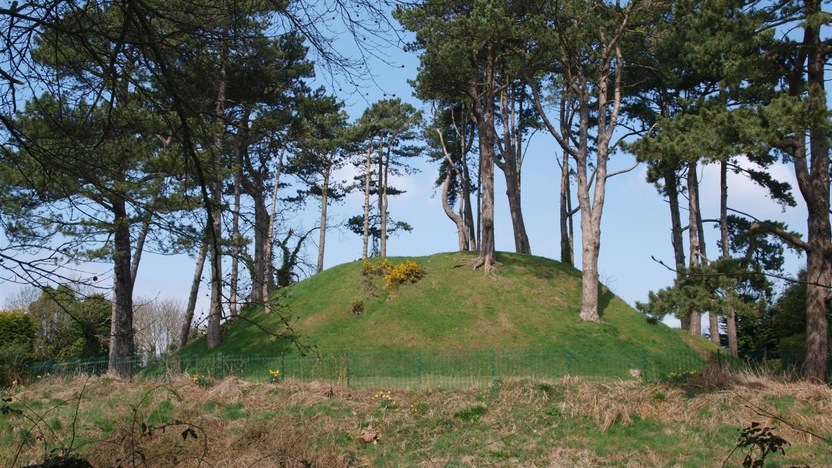 Shandon Park MoundArchaeological place · 7 yd
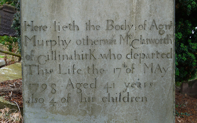 CHURCH RUINS & GRAVEYARD: KNOCK/DUNDELA in KnockCHURCH RUINS & GRAVEYARD: KNOCK/DUNDELA · 372 yd
 Knock Methodist ChurchChurch · 1144 yd
_-_geograph.org.uk_-_3663556.jpg?width=1280) White LodgeHouse · 1584 yd
White LodgeHouse · 1584 yd Braniel HillMountain / peak · 1603 yd
 Conn O'Neill's Castle SiteFort · 1.2 mi
 ENCLOSURE in BranielENCLOSURE · 1.3 mi
 Comber GreenwayWalking route · 1.3 mi
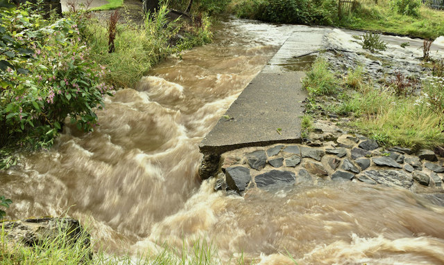 The HollowWood · 1.3 mi
 The Somme MemorialMemorial · 1.6 mi
 Lisnabreeney WaterfallWaterfall · 1.8 mi
 Assembly ChamberHeritage attraction · 1.8 mi