What is recorded here
Katesbridge Mound rises in Shannaghan as a medieval motte, its earth shaped deliberately rather than dropped by chance. That much is clear. The rest belongs to imagination: a guard post, a boundary marker, a family hill, or a forgotten warning laid against the valley. The mound no longer answers questions, but it still asks them.
The official Northern Ireland record identifies this as MOTTE: KATESBRIDGE MOUND. Recorded period: MEDIEVAL. The official map point was placed at the centre of the recorded archaeological site from the source map reference.
Medieval motte; a defensive structure from the Norman or later medieval period. It represents a key element of early military architecture in the region.
The monument record does not grant public access. Check the route and ask the landowner before entering private land.
- What survives
- Recorded monument
Places near here
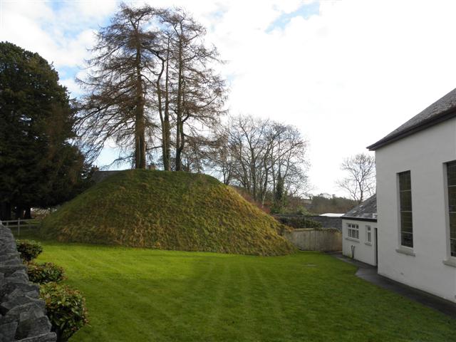 Katesbridge MoundArchaeological place · 11 yd
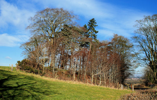 ENCLOSUREENCLOSURE, rath? · 1.1 mi
 CASTLE & RATH reused as BAILEY: SEAFIN CASTLE; Magh Cobha; Moycove in SeafinCASTLE & RATH reused as BAILEY: SEAFIN CASTLE; Magh Cobha; Moycove · 1.4 mi
 Poland's BridgeBridge · 1.9 mi
 Drumgooland Presbyterian ChurchChurch · 1.9 mi
 KnockiveaghMountain / peak · 2.5 mi
 The Brontë CentreVisitor information · 2.7 mi
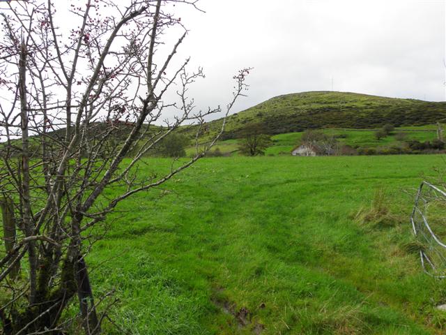 Deehommed MountainMountain / peak · 2.8 mi
 Knockiveagh Picnic SitePicnic place · 2.8 mi
 CHURCH & GRAVEYARD: DRUMGOOLAND in DeehommedCHURCH & GRAVEYARD: DRUMGOOLAND · 3.0 mi
 The Moat PadWalking route · 3.7 mi
 Game of Thrones Studio TourHeritage attraction · 3.9 mi