What is recorded here
Antrim still keeps a medieval motte inside Town Parks, proving that human hands shaped the land before written memory began. The mound may have supported a tower, a watch post or a boundary marker, yet its exact purpose has faded. It remains scheduled and visible, forcing modern walkers to share space with a forgotten medieval world.
The official Northern Ireland record identifies this as MOTTE. Recorded period: MEDIEVAL. Recorded protection: Scheduled. The official map point was placed at the centre of the recorded archaeological site from the source map reference.
The monument record does not grant public access. Check the route and ask the landowner before entering private land.
- What survives
- Recorded monument
Places near here
 C17th CASTLE: ANTRIM CASTLE in Town Parks (antrim)C17th CASTLE: ANTRIM CASTLE · 46 yd
 Antrim CastleCastle · 63 yd
_-_geograph.org.uk_-_3123852.jpg?width=1280) Deerpark BridgeBridge · 177 yd
Deerpark BridgeBridge · 177 yd Clotworthy HouseGallery/ Museum · 281 yd
 Garden Heritage ExhibitionMuseum · 297 yd
 2009 Massereene Barracks shootingterrorist attack · 862 yd
 A.P. SITEA.P. SITE, enclosure · 1033 yd
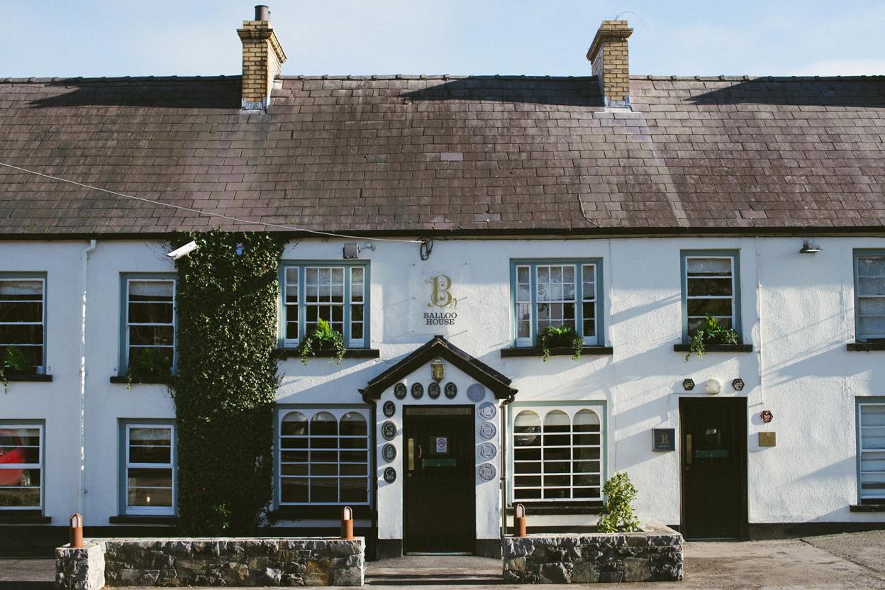 ENCLOSURE in BallooENCLOSURE · 1063 yd
 Rea's WoodWood · 1423 yd
 Antrim BayBay · 1.7 mi
 Farr's BayBay · 3.3 mi
 Randalstown ForestForest · 3.6 mi