What is recorded here
Dunavan Fort stands in County Down as a medieval motte, its earthworks shaped by hands that lifted soil into a defensible height. The hill may have risen from fear, pride or simple necessity, yet it still interrupts the landscape like a forgotten argument. People may have climbed it during storms, watched roads from its crest or buried ceremonies inside its soil. The fort keeps those possibilities alive because earth remembers pressure even when names disappear.
The official Northern Ireland record identifies this as MOTTE: DUNAVAN FORT. Recorded period: MEDIEVAL. The official map point was placed at the centre of the recorded archaeological site from the source map reference.
The monument record does not grant public access. Check the route and ask the landowner before entering private land.
- What survives
- Recorded monument
Places near here
 Dunnaman Court TombArchaeological place · 378 yd
 First Trust BankBank · 1738 yd
 Springfield VillaCountry House · 1749 yd
 Robert Hill Hanna VC - First World War HeroVisitor information · 1.1 mi
 ENCLOSURE in AughrimENCLOSURE · 1.1 mi
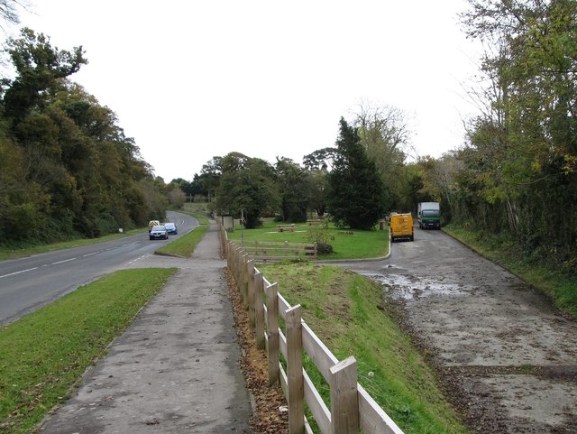 Whitewater Picnic Area & Disabled Fishing sitePicnic place · 1.4 mi
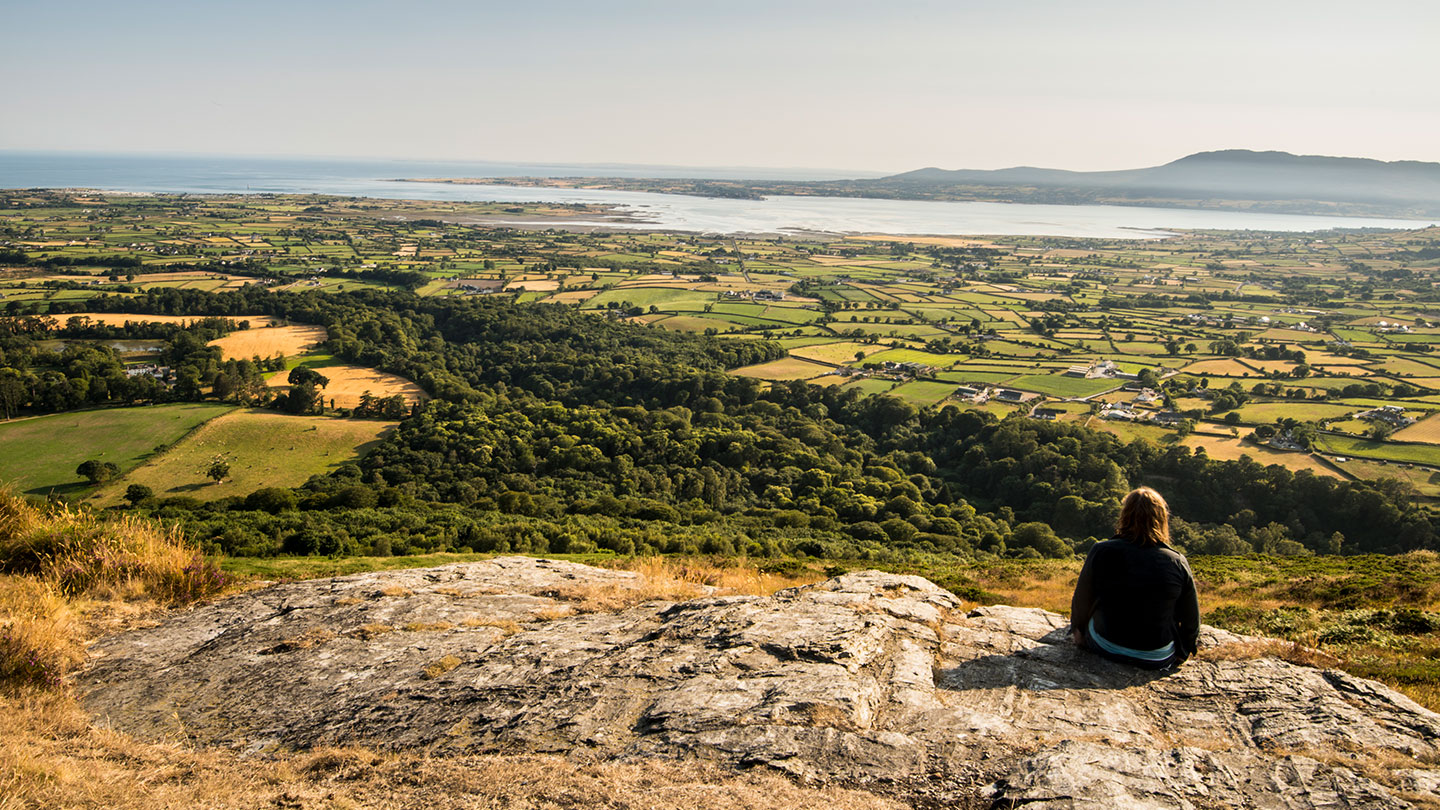 Mourne ParkWood · 1.5 mi
 KnockchreeMountain / peak · 1.8 mi
 Hanna's Close WalkWalking route · 1.9 mi
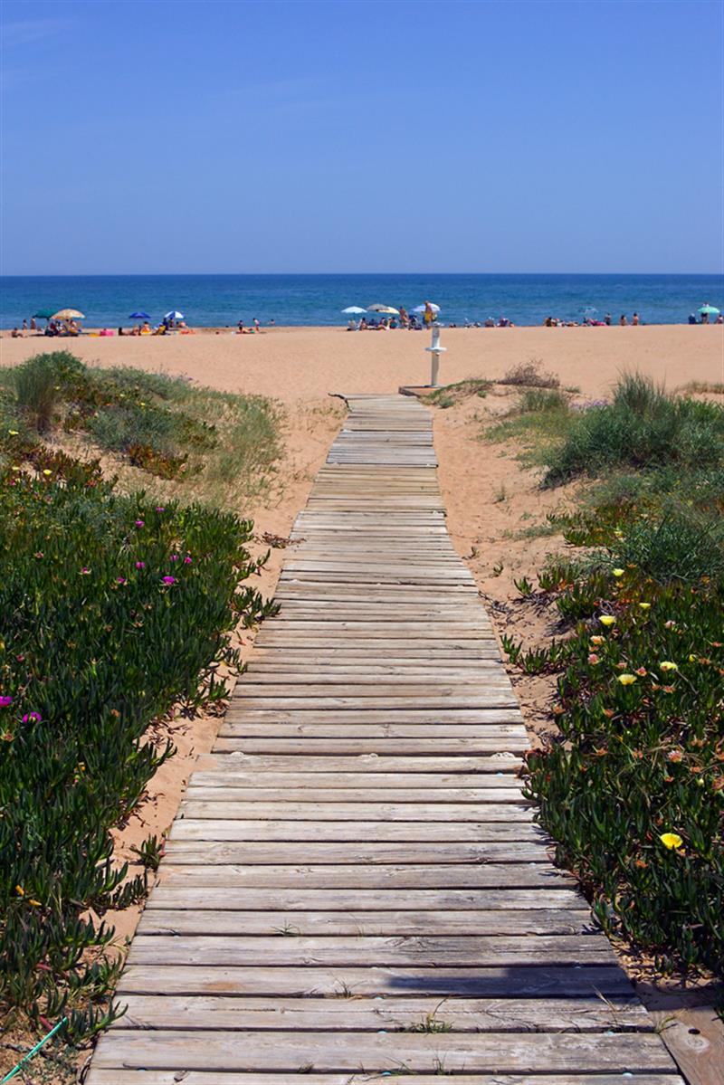 Beach - Costa del CeanfieldBeach / strand · 2.8 mi
 CASTLE & WELL: GREENCASTLE in GreencastleCASTLE & WELL: GREENCASTLE · 3.1 mi
 GreencastleCastle · 3.1 mi