What is recorded here
Motes is a bowl-barrow in County Limerick, built over a cremation fire and preserved inside an ancient Ernai cemetery. It stands among three similar mounds, a ringfort and a cist, suggesting a settled landscape where death, defence and daily life shared one horizon. The barrow is not a random heap of stones; it is a shaped answer to loss, made visible enough that people could return, remember and orient themselves across generations.
In rough pasture, in centre of an archaeological complex (LI048-034006/042-) located on the 'Supposed Site of Temaír Erann', which was the ancient cemetery of the Ernai tribe on Slievereagh (Sliabh Riabhach) (Westropp 1919, 9; Westropp 1917-19, 179; Westropp 1918, 111). One of three bowl-barrows (LI048-034010/012-), within a large field system (LI048-034001-), ringfort (LI048-034008-) lies 30m to NE and a cist (LI048-034015-) lies 38m to SW. Listed as Tumulus II with cremated burial (LI048-034040-), excavated by Ó Ríordáin (1940, 137-8) between 1934-5. Monument described as one of three ‘bowl-barrows’ by Ó Ríordáin consisting of mound measuring ‘about 6 feet [1.8m], and each having a fosse which, though largely silted up, was still evident on the ground before excavation. The overall average diameter of the mound was 45 feet [13.7m]’ (ibid. 137). Excavations revealed that 'on the old ground surface an area irregularly circular in outline and about 12 feet [4m] in diameter was found to be covered with a light charcoal deposit in which were scattered fragments of cremated bone [LI048-034040-). It was evident that this area was the site of a fire, on which, no doubt, the cremation had been carried out and over which the tumulus had been built'. Earthwork visible as a circular shaped mound defined by a shallow fosse on Digital Globe orthoimage taken between 2011-13 and on Google Earth orthoimages.
See attached plan from Ó Ríordáin and Google Earth orthoimages.
Compiled by: Fiona Rooney
Date of upload: 30 August 2021
A portal dolmen dating to the Neolithic or early Bronze Age; part of a significant archaeological complex associated with the ancient Ernai tribe.
The monument record does not grant public access. Check the route and ask the landowner before entering private land.
- What survives
- Recorded monument
Places near here
 Quarry in CushQuarry · 39 yd
 Man-made underground passage in CushMan-made underground passage · 127 yd
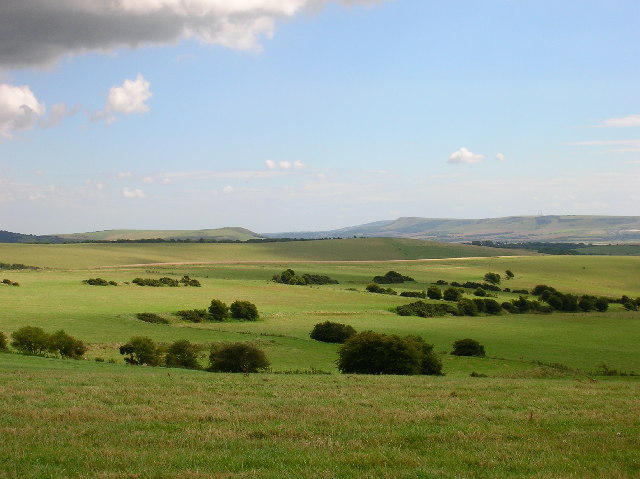 Field system in CushField system · 151 yd
 Bosnetstown Villahouse · 1133 yd
 Ballinvreena LoopVisitor information · 1168 yd
 Palatine's RockNamed rock · 1.7 mi
 SlievereaghMountain / peak · 1.7 mi
 Castle (in ruins)Castle, tower house · 1.8 mi
 Ballyhoura tourist informationVisitor information · 1.9 mi
 Ballyhoura WayWalking route · 1.9 mi
 Treada Na Ríogh (The Moat), hachuredCastle, motte · 1.9 mi
 Edmund's WellSpring · 2.2 mi