What is recorded here
On the highest point of an E-W running esker ridge. A small subcircular mound (7.5m N-S; 6.5m E-W; H 1.3m), threatened by quarrying, was excavated by Rynne (1985, 24). It consisted of a 'cairn-like core covered with earth and stones and contained within a low, rough kerb forming three sides of a square, open on the NE side'. Finds included animal bones, oyster shells, iron, bronze and glass fragments and a decorated bone plaque. Rynne (ibid.) proposed a late-medieval date for this 'enigmatic structure', of which no visible surface trace survives. (Knox 1917-18, 119-20, no. 22I; Cody 1989, 380-81, no. 165)
Compiled by: Galway Archaeological Survey, UCG
Date of upload: 17 July 2019
The monument record does not grant public access. Check the route and ask the landowner before entering private land.
- What survives
- Recorded monument
Places near here
 First Battle of Athenrybattle · 332 yd
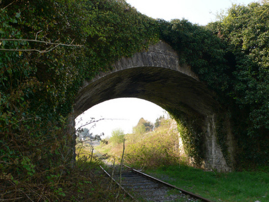 bridgebridge · 494 yd
 CaherroynFairy fort / earthen ringfort · 574 yd
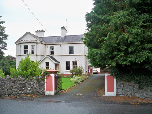 Banba Househouse · 591 yd
 Horse-chestnutHorse-chestnut · 606 ydCastle or King Johns Court (in ruins)Castle, Anglo-Norman masonry castle · 993 yd
 Athenry CastleHeritage attraction · 1007 yd
 Check mapCross, Market cross · 1074 yd
 Athenry AbbeyHeritage attraction · 1205 yd
 Castle (in ruins)Castle, tower house · 1.0 mi
 Moyard WoodWood · 3.5 mi
 Leadmine HillMountain / peak · 10 mi