What is recorded here
This stands close to the NE limits of the enclosure (KE098-021003-). It is 1.81m high, measures .41m x .12m at base and is of slightly irregular elevation. The inscription, which occurs on the NW angle, was read by Macalister (1945, 227) as:
TIDONN(A] MAQ.DOMNGINN
The initial two letters are buried, but Macalister's doubtful A is clear. The second I is not now discernible, though there is sufficient space for it. On the W face of the stone is a large outline cross potent. A vertical groove occurs at the point where the right arm meets the shaft and a dot occurs towards the centre of the cross.
The above description is derived from O'Sullivan, A. and Sheehan, J. (compilers) 'The Iveragh peninsula: an archaeological survey of South Kerry'. Cork University press. (1996), no. 944. In certain instances the entries have been revised and updated in the light of recent research.
Date of upload: 12 June 2013
The monument record does not grant public access. Check the route and ask the landowner before entering private land.
- What survives
- Recorded monument
Places near here
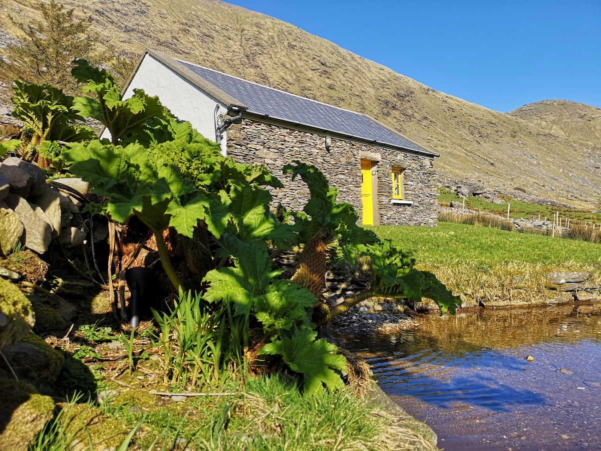 Hut site in An Chathair BhearnachHut site · 874 yd
 Man-made underground passage in DromkeareMan-made underground passage · 899 yd
 St Finans ChurchChurch · 1.2 mi
 St Finans CellHouse, early medieval · 1.2 mi
 CoomduffMountain / peak · 1.4 mi
 An PlaoscHeadland · 1.8 mi
 GlanbegMountain / peak · 2.0 mi
 CastleCastle, tower house · 2.7 mi
 Butler MemorialMemorial · 3.0 mi
 T. C. Millerick MemorialMemorial · 3.0 mi
 Waterville PromenadeWalking route · 3.1 mi
 Inny StrandBeach / strand · 3.9 mi