
What is recorded here
a collapsed section of a Man-made underground passage (KE089-052----) passage is present. Measuring 2.8m long, it is aligned NE-SW and most of its roofing lintels have collapsed. The passage averages 1m deep and 1m wide. Its drystone walls are well-constructed of horizontal coursing and corbel slightly inwards towards roofing level. Five upright slabs flank the side-walls of the passage, three at NW and two at SE, but are not bonded into the walls. The passage narrows at both ends, and a small lintelled opening occurs at the base of the NE end-wall. Measuring .2m high and .55m wide, it is largely blocked by collapse. A similar, though less well-defined opening, occurs in the SW end-wall, which is largely obscured with collapse.
The above description is derived from A. O'Sullivan and J. Sheehan (compilers), 'The Iveragh peninsula: an archaeological survey of South Kerry'. Cork University Press (1996), no. 670. In certain instances the entries have been revised and updated in the light of recent research.
Date of upload: 29 July 2013
The monument record does not grant public access. Check the route and ask the landowner before entering private land.
- What survives
- Recorded monument
Places near here
 Barnagh FortFairy fort / stone ringfort · 368 yd
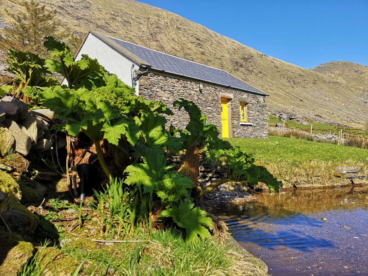 Hut site in An Chathair BhearnachHut site · 768 yd
 Dromod Church (in Ruins)Church · 1676 yd
 CoomduffMountain / peak · 1.1 mi
 St Finans CellHouse, early medieval · 1.4 mi
 An PlaoscHeadland · 2.3 mi
 GlanbegMountain / peak · 2.3 mi
 CastleCastle, tower house · 2.9 mi
 Butler MemorialMemorial · 3.0 mi
 T. C. Millerick MemorialMemorial · 3.0 mi
 Waterville PromenadeWalking route · 3.1 mi
 Inny StrandBeach / strand · 3.7 mi
Other information
Photo: Credit not shown in the picture search · Rights wording not checked; contact us if this picture should be removed