What is recorded here
Monument is a vanished wayside cairn on the south verge of the road from Tully to Salrock in County Galway. It appeared as a small open circle on the first Ordnance Survey map, but no stone or earth remains visible today. Five other possible cairns dot the same route, suggesting a line of markers rather than a single forgotten heap. They may have guided travellers through dark Galway fields, or simply marked the edge of human knowledge before the road swallowed them.
On S verge of road from Tully to Salrock. Indicated on 1st ed. of OS 6-inch map as a small open circle. No visible surface trace survives. Five other possible wayside cairns are also known along this road (GA010-047----; GA010-042----; GA010-043----; GA010-045----).
The above description is derived from the published 'Archaeological Inventory of County Galway Vol. I - West Galway'. Compiled by Paul Gosling (Dublin: Stationery Office, 1993).
Date of upload: 05 August 2010
A Neolithic or early Bronze Age wayside cairn; likely part of a funerary or ritual landscape along a historic route. Its association with other cairns in the area suggests broader ceremonial significance.
The monument record does not grant public access. Check the route and ask the landowner before entering private land.
- What survives
- Recorded monument
Places near here
 Lettergesh BeachBeach / strand · 495 yd
 IndicatedFairy fort / stone ringfort · 620 yd
 Font (present location) in GlassillaunFont (present location) · 1465 yd
 Glassilaun BeachBeach / strand · 1568 yd
 GowlaunMountain / peak · 1.3 mi
 BenchoonaMountain / peak · 1.4 mi
 GubanillaunHeadland · 1.7 mi
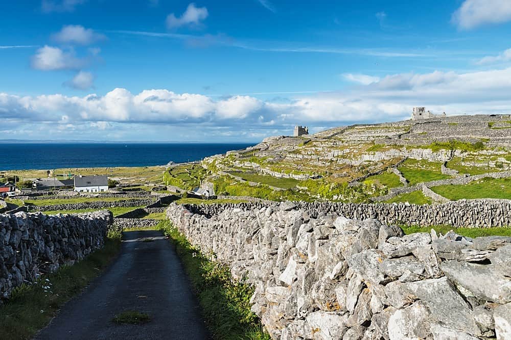 Inis BarnaIslet · 1.7 mi
 Salrock Churchchurch/chapel · 2.0 mi
 Salrock Church (in ruins)Church · 2.0 mi
 DooneenIslet · 2.0 mi
 Silver StrandBeach / strand · 2.9 mi