What is recorded here
Checker Hill rises in County Galway with a flat-topped earthen mound on its summit, preserving a soldier’s grave and the colour that named the place. Generals may have stood there during war to watch the land, while the dead man remains buried beneath the grass. The mound still holds both purposes: a viewpoint for the living and a marker for the fallen.
On the summit of Checker Hill. It comprises a subrectangular flat-topped earthen mound (E-W; L 4.5m, Wth 4m, H <1.5m) in good condition. According to Neary (1914, 120, no. 9), this was a viewpoint from which 'the generals stood in war time and kept watch and ward'. Local tradition records it as the grave of a soldier killed in battle and that the hill takes its name from the colour of his uniform.
The above description is derived from the published 'Archaeological Inventory of County Galway Vol. II - North Galway'. Compiled by Olive Alcock, Kathy de hÓra and Paul Gosling (Dublin: Stationery Office, 1999).
Date of upload: 05 August 2010
The monument record does not grant public access. Check the route and ask the landowner before entering private land.
- What survives
- Recorded monument
Places near here
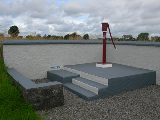 water pumpwater pump · 755 yd
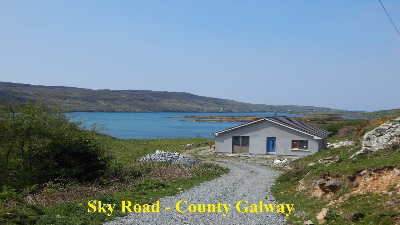 LissabrollaunFairy fort / earthen ringfort · 831 yd
 Catholic Church of Christ the Kingchurch/chapel · 847 yd
 Enclosure in KiltivnaEnclosure · 1138 yd
 Castle in ruinsCastle, unclassified · 1.4 mi
 Slieve DartMountain / peak · 1.9 mi
 Dunmore CastleCastle · 3.6 mi
 Site of Killomaine Grave YardArchaeological place · 9.4 mi
 European ashEuropean ash · 12 mi
 LisowenmacloughlinArchaeological place · 1249 yd
 Ballaghdorragha RathFairy fort / earthen ringfort · 1292 yd
 Enclosure in LissyconorEnclosure · 1693 yd