
What is recorded here
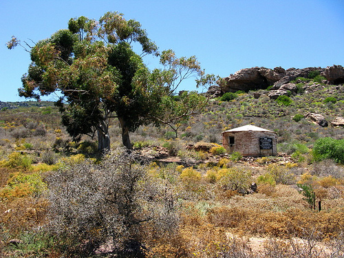
In improved stony pasture immediately E of a dwelling and farmyard and within an extensive multiperiod field system (CL005-160001-). Named ‘Monument’ on the 1840 OS 6-inch map and the 1897 25-inch map. Indicated but not named on the 1916 OS 6-inch map. A drystone structure locally known as a mass-rock ‘where mass was celebrated in penal times’. The monument is defined by a U-shaped drystone enclosure (int. H 1.3m; L 1.2m; Wth 0.7m) appended to the S side of a drystone field wall. A small stone on the ground within the enclosure has a natural water-filled hollow reminiscent of a bullaun stone. In the vicinity of two crosses (CL005-160011-; CL005-160013-) marked on the 1916 OS 6-inch map.
Compiled by: Mary Tunney and Eve Campbell
Date of upload: 7 October 2025
The monument record does not grant public access. Check the route and ask the landowner before entering private land.
- What survives
- Recorded monument
Places near here
 CrossCross · 54 yd
 PoulnabroneMemorial · 159 yd
 Fort and Cave HachuredFairy fort / stone ringfort · 321 yd
 Poulnabrone DolmenHeritage attraction · 1494 yd
 The Portal TombVisitor information · 1505 yd
 Poulnabrone - Burren GeositeVisitor information · 1627 yd
 Gleansleade Castle (in ruins)Castle, tower house · 1.1 mi
 Caherconnell Stone FortRuins · 1.2 mi
 Gleninshing tombHeritage attraction · 1.2 mi
 Cave of the Wild HorsesCave · 1.9 mi
 Castle (in ruins)Castle, unclassified · 2.1 mi
 Saint Columba's Catholic Churchchurch/chapel · 2.2 mi
Other information
Photo: Credit not shown in the picture search · Rights wording not checked; contact us if this picture should be removed