What is recorded here
Marked as a signal pole on the 1840 ed. of the OS 6-inch map and as a monument on the 1922 ed. of the OS 6-inch map. It is situated on a rise in the floor of the N-S Annestown river, with the stream c. 80m to the E. This is an obelisk erected to commemorate members of the Cole family, but there is no evidence of a signal tower.
Compiled by: Michael Moore.
Date of upload: 19th May, 2011.
The monument record does not grant public access. Check the route and ask the landowner before entering private land.
- What survives
- Recorded monument
Places near here
 Annestown monumentMemorial · 2 yd
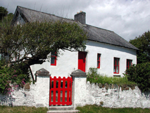 The Old Forgehouse · 621 yd
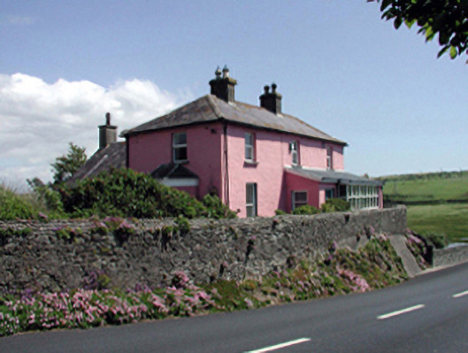 Rock Househouse · 751 yd
 Lime KilnVisitor information · 916 yd
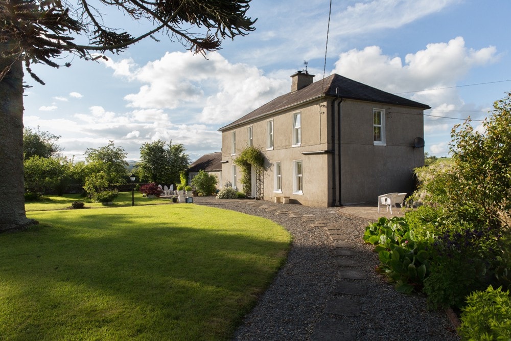 Enclosure in KilcannonEnclosure · 967 yd
 Annestown BeachBeach / strand · 993 yd
 Double bankPromontory fort, coastal · 1112 yd
 Benvoy BeachBeach / strand · 1326 yd
 Dunhill CastleCastle · 1373 yd
 Castle (in ruins)Castle, tower house · 1375 yd
 St. Martin's WellSpring · 2.2 mi
 Fenor BogNature reserve · 2.3 mi