What is recorded here
In pasture, on gentle W-facing slope. Roughly square area (int. dims. 26m E-W; 23m N-S) defined by three earthen banks with intervening fosses on N side; one earthen bank on E side; two earthen banks with intervening fosse on S and W sides. External fosse (D 0.3m) survives to N, S and W. Banks mainly substantial, flat topped and steep sided; E bank most worn (int. H 0.7m; ext. H 0.8m); banks heavily overgrown to S. Field boundary extends W from NW corner of inner bank.
The above description is derived from the published 'Archaeological Inventory of County Cork. Volume 4: North Cork' (Dublin: Stationery Office, 2000). In certain instances the entries have been revised and updated in the light of recent research.
Date of upload/revision: 14 January 2009
The monument record does not grant public access. Check the route and ask the landowner before entering private land.
- What survives
- Recorded monument
Places near here
 IndicatedKiln, lime · 389 yd
 Enclosure in Tullig (orrery and Kilmore By.)Enclosure · 486 yd
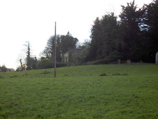 Tullig Housecountry house · 638 yd
 Grave YdGraveyard · 940 yd
 CarrigadoonCastle, unclassified · 1158 yd
 Lady's WellSpring · 1.0 mi
 Lisgriffin CastleCastle · 1.1 mi
 Churchtown TrailsVisitor information · 1.2 mi
 Buttevant Rail DisasterMemorial · 2.0 mi
 David HurleyMemorial · 2.5 mi
 SycamoreSycamore · 2.5 mi
 Battle of LiscarrollMajor battlefield · 3.6 mi