What is recorded here
Situated on wet poorly drained grassland with stone circle (WM031-116----) immediately to NNE. Stream forming townland boundary with Ballyhattan 100m to W and Donore Bridge 110m to NW. Present remains consists of a square-shaped area (dims. 25m x 25m) enclosed by an earthen bank (approx. dims. Wth 1.7m; H 0.5-0.8m) and old drainage ditch (Wth 1-2m) running NE-SW only visible from NNW-N-NNE, elsewhere no visible remains of an enclosing ditch. Possible entrance gap (Wth 1.5m) at S.
Compiled by: Caimin O'Brien based on details kindly provided by Melanie McQuade.
Date of upload: 22 March 2017
The monument record does not grant public access. Check the route and ask the landowner before entering private land.
- What survives
- Recorded monument
Places near here
 Donore Bridgebridge · 135 yd
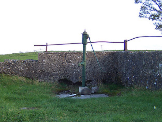 water pumpwater pump · 531 yd
 Enclosure in Skeheen (nagle)Enclosure · 1029 yd
 Partially hachuredFairy fort / earthen ringfort · 1197 yd
 Syonan CastleCastle · 1552 yd
 Hachured, Wall, HorseleapCastle, motte and bailey · 1.2 mi
 Kilmalady HillMountain / peak · 2.9 mi
 Chapel HillForest · 5.0 mi
 ToberaskeenSpring · 5.3 mi
 Roughan HillMountain / peak · 5.5 mi
 Charles BianconiMemorial · 6.8 mi
 The Bob Traynor GalleryGallery · 6.9 mi