What is recorded here
Located on a gently undulating shelf in the valley of the N-S Corock River, with the meandering stream c. 300m to the E. The cropmark of a rectangular enclosure (int. dims c. 40m N-S; c. 25m E-W) defined by two sets of ditch or moat features (ext. dims c. 55m N-S; c. 40m E-W) is visible on aerial photographs (ASIAP (436) 22, 23) and on digital aerial photographs (WX040-095_1 to _6) taken in 2006. A magnetic gradiometer survey (20R0129) over an extensive area confirmed the existence of the moated site, and also recognised the drains of a field system directly related to it extending off to the N and E which covers about 4 ha (c. 10 acres) (Nicholls 2020, 9 F 24-29, Fig. 9). The fields are generally rectangular (dims c. 30m x c. 20m to c. 60m x c. 50m) defined by single ditches and with regimes of cultivation ridges usually confined to individual fields.
WX040-095----_1.jpg from NW
Compiled by: Michael Moore
Date of upload: 21 February, 2013
Amended: 30 December 2020
The monument record does not grant public access. Check the route and ask the landowner before entering private land.
- What survives
- Recorded monument
Places near here
 Field system in RosspileField system · 81 yd
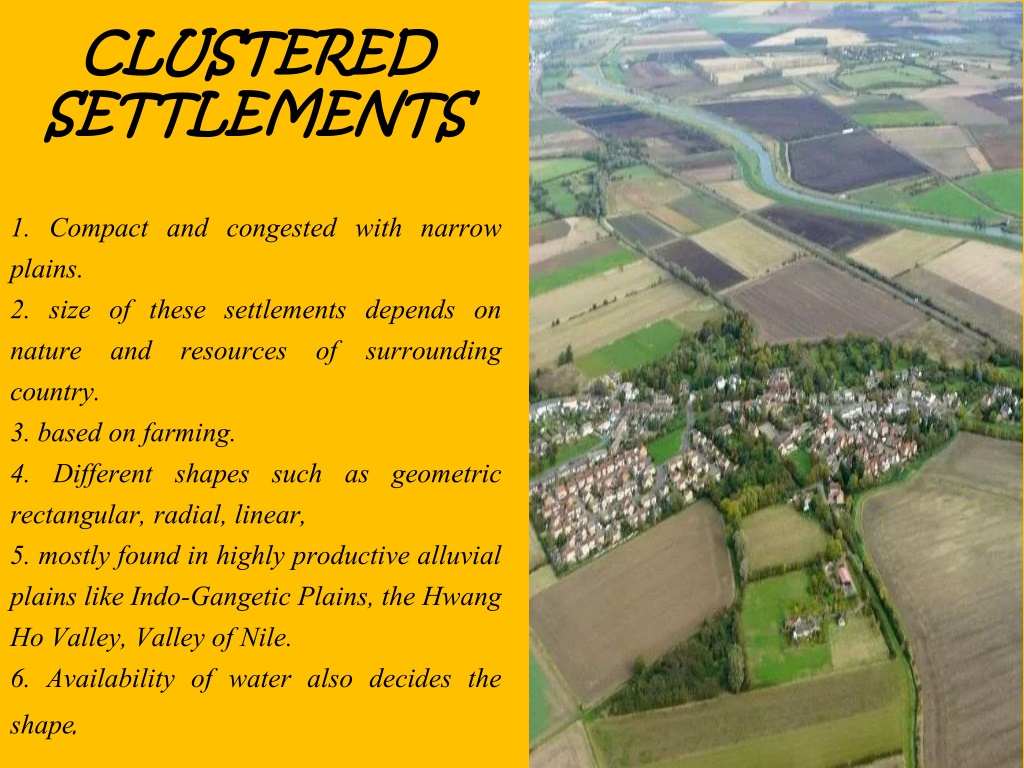 Settlement cluster in CoolcliffeSettlement cluster · 638 yd
 Coolcliffe HouseRuins · 677 yd
 farm housefarm house · 1.0 mi
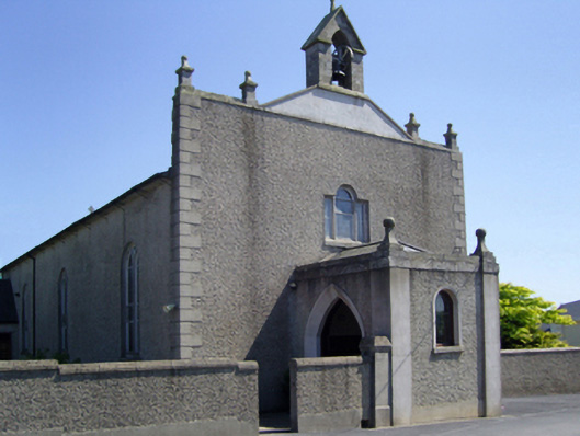 Saint Edan's Catholic Churchchurch/chapel · 1.0 mi
 CastleHouse, fortified house · 2.1 mi
 Bawn in Tracystown WestBawn · 2.4 mi
 Carrig-On-BannowVisitor information · 4.2 mi
 1798 MemorialMemorial · 4.2 mi
 Carrickbyrne HillMountain / peak · 5.2 mi
 Cullenstown StrandBeach / strand · 5.8 mi
 Saltmills Explosion MemorialMemorial · 5.8 mi