What is recorded here
On the crest of a ridge in wet pastureland. This very well-preserved rectangular moated site (c. 50m NE-SW; c. 44m NW-SE) is defined by an inner bank of earth and stone (Wth 2.5-2.9m; int. H 1m; ext. H 4.5m), an intervening fosse (Wth 2.1m) and an outer bank made up of earth and large limestone boulders (Wth 2-4m; int. H 1-2.2m; ext. H 2.5-2.7m), its outer edges are indistinct as much slippage has occurred due to the steeply sloping land on all sides, except to the E. There are causewayed entrances (Wth of both 5m) at NE and SW. A small knoll in the middle of the NE gap divides it in two. The NE portion of the outer bank is overlain by a modern field wall; traces of the original stone facing (L 9m) are visible at ENE. There is a slightly raised rectangular area (L c. 15m; Wth 8.5m) made up of stone and delimited by large boulders in the centre of the interior. Some 100m to the S lie two parallel banks with a water-filled intervening fosse (L 20m). A pear-shaped raised area is visible c. 120m to the SW. (McCaffrey 1952, 277-8, no. 15; Killanin and Duignan 1962, 58)
Compiled by: Galway Archaeological Survey, UCG
Date of upload: 9 December 2019
The monument record does not grant public access. Check the route and ask the landowner before entering private land.
- What survives
- Recorded monument
Places near here
 IndicatedFairy fort / earthen ringfort · 496 yd
 Enclosure in Drumharsna NorthEnclosure · 1003 yd
 Drumharsna CastleHeritage attraction · 1600 yd
 Drumharsna Castle (in ruins)Castle, tower house · 1602 yd
 Ardrahan Churchchurch/chapel · 1.7 mi
 Castle (in ruins)Castle, Anglo-Norman masonry castle · 1.7 mi
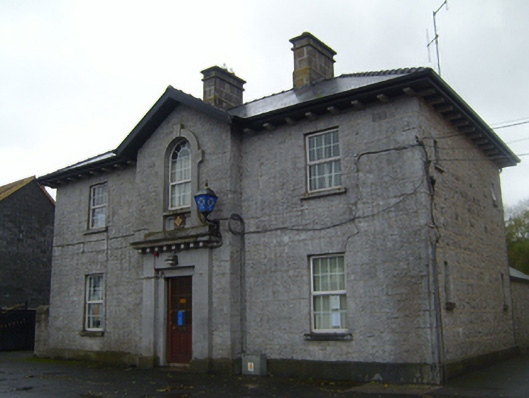 Ardrahan Garda Síochána StationRIC barracks · 1.7 mi
 HawthornHawthorn · 3.4 mi
 European ashEuropean ash · 3.4 mi
 Drumacoo Monastic SiteHeritage attraction · 3.7 mi
 Mulroney's IslandIslet · 4.1 mi
 Cusheen IslandIslet · 4.4 mi