What is recorded here
In level pasture. Roughly rectangular area (c. 30m N-S; c. 26m E-W) defined by an earthen bank (int. H 0.3m; ext. H 0.4m) with an external fosse (D 0.3m). Possible entrance via break in bank (Wth. 6m) with ramp into fosse at NE. Interior level. Listed as a moated site by Barry (Barry 1981, 84; site no. 33).
Compiled by: Denis Power
Date of upload: 26 August 2011
The monument record does not grant public access. Check the route and ask the landowner before entering private land.
- What survives
- Recorded monument
Places near here
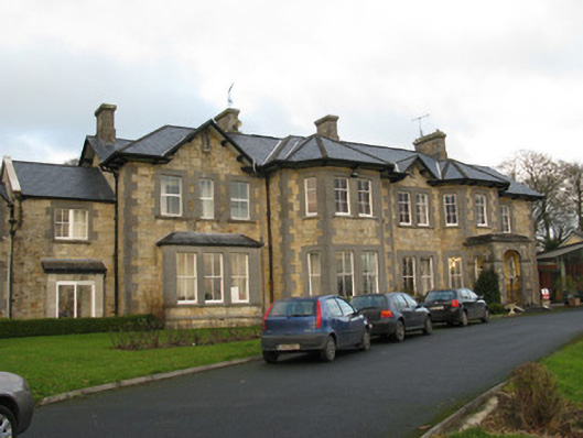 Rathfredagh Cheshire Homecountry house · 364 yd
 Ballynakill HouseRuins · 791 yd
 Lissanaska HachuredFairy fort / earthen ringfort · 1749 yd
 Enclosure in KnockaderryEnclosure · 1.2 mi
 Ballynoe Castle (in ruins)Castle, tower house · 1.4 mi
 Castle MahonCastle · 1.8 mi
 LaghtpatrickSpring · 2.4 mi
 Sunday WellSpring · 2.5 mi
 European ashEuropean ash · 2.7 mi
 Limerick GreenwayWalking route · 6.8 mi
 Ballagh MountainMountain / peak · 7.2 mi
 Sugar HillMountain / peak · 7.9 mi