What is recorded here
In reclaimed pasture, c. 200m N of Garrane River. Rectangular area (c. 30m N-S; c. 25m E-W) enclosed by earthen bank (int. H 0.95m; ext. H 1m) with external fosse (D 0.8m). Bank heavily overgrown; substantial on W side; low on N side; narrower to S, possibly due to disturbance. Cattle gap in N bank. Fosse mainly dry except to E where partially waterlogged; infilled along E half of S side. Midway along S side drain leads from interior S into surrounding field. Interior inaccessible due to overgrowth. Listed by Barry (1981, 83, no. 61).
The above description is derived from the published 'Archaeological Inventory of County Cork. Volume 4: North Cork' (Dublin: Stationery Office, 2000). In certain instances the entries have been revised and updated in the light of recent research.
Date of upload/revision: 14 January 2009
The monument record does not grant public access. Check the route and ask the landowner before entering private land.
- What survives
- Recorded monument
Places near here
 Fulacht fia in Garrane (fermoy By.)Fulacht fia · 761 yd
 BarrowBarrow, ring-barrow · 854 yd
 Ardskeagh MoatCastle, motte · 1105 yd
 Glanmore Househouse · 1147 yd
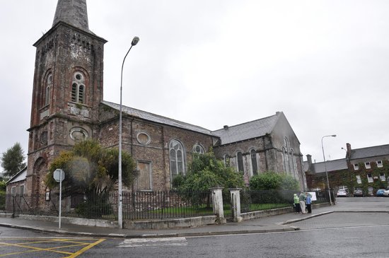 Ardskeagh Church (in Ruins)Church · 1162 yd
 Castle Harrison on Site of Castle (19*Castle, unclassified · 1515 yd
 BallinaboolaVisitor information · 1.2 mi
 CarrigeenMountain / peak · 1.9 mi
 Holy Cross CemeteryGraveyard · 2.4 mi
 Caher HillMountain / peak · 2.5 mi
 ToberSpring · 2.7 mi
 Lady's WellSpring · 2.7 mi