What is recorded here
Situated in a low-lying position on gently undulating land of both pasture and tillage. A possible fulacht fia (TN011-028002) lies 10m to the SSW. The present remains consist of a rectangular area (dims 38.2m N-S; 31.7m E-W) enclosed by a bank (Wth 2.6m) and outer fosse (Wth 5.2m; D 0.85m). The edges of the site have been either incorporated in field boundaries, as on the E side, or quite denuded, particularly on the W side. The bank is mostly reduced to a scarp, however, it is particularly pronounced at the NE and SW corners. The NW corner is completely denuded and partially covered in scrub. The SE corner does not survive and this area is much trampled by cattle. The fosse is well-preserved at N and W with a wide, shallow profile. It is overgrown at S and is not obvious at E. No leat survives but a stream (now dry) seems to have run near the NW corner.
The above description is derived from 'The Archaeological Inventory of County Tipperary. Vol. 1 - North Tipperary' compiled by Jean Farrelly and Caimin O'Brien (Dublin: Stationery Office, 2002). In certain instances the entries have been revised and updated in the light of recent research.
Date of upload/revision: 22 September 2008
The monument record does not grant public access. Check the route and ask the landowner before entering private land.
- What survives
- Recorded monument
Places near here
 Enclosure in OxparkEnclosure · 435 yd
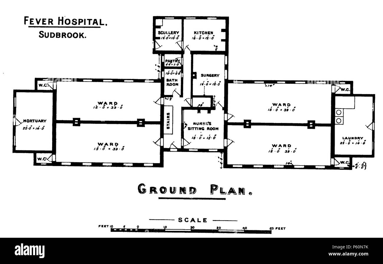 Fever HospitalRuins · 498 yd
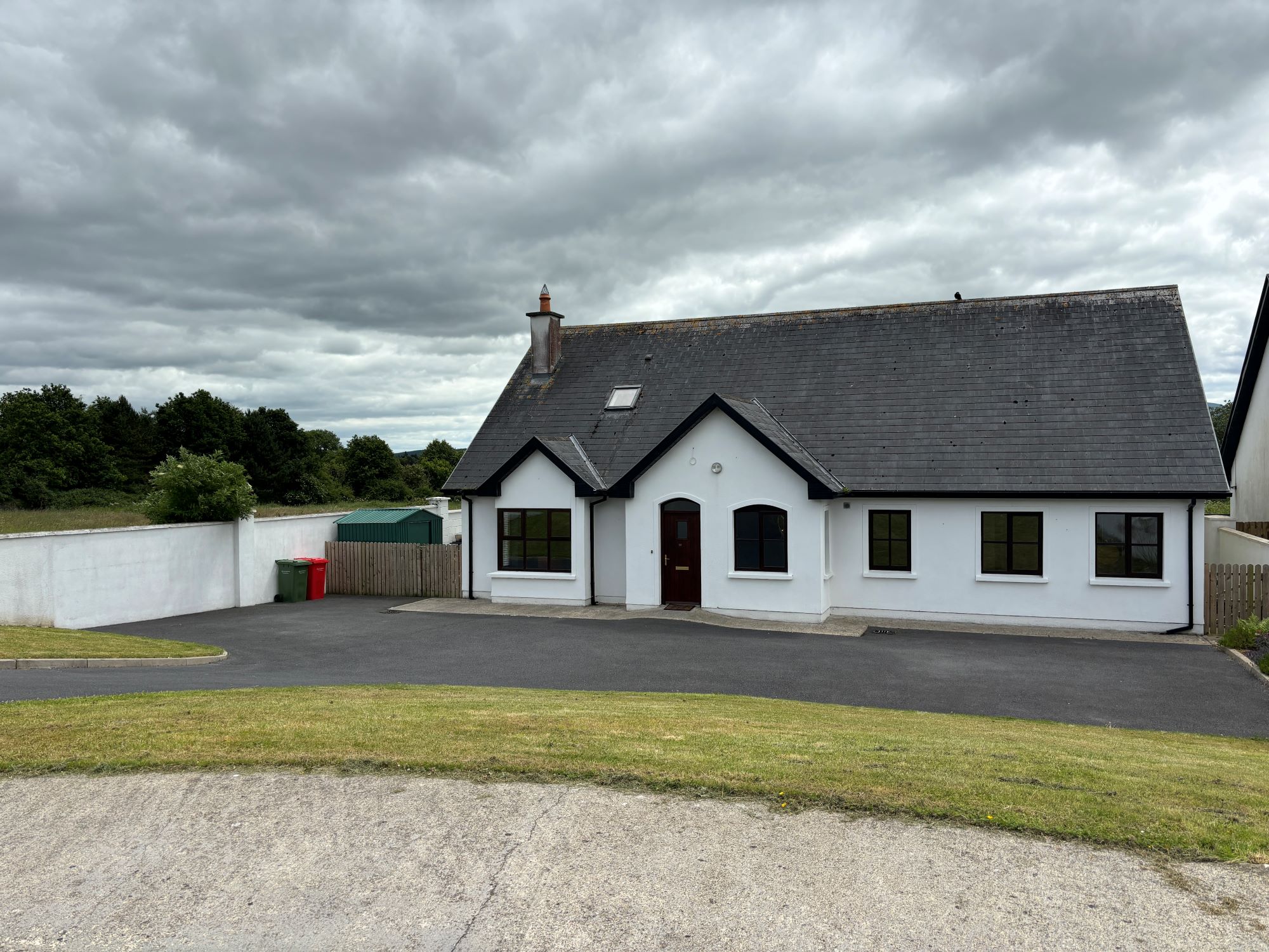 Sweathouse in OxparkSweathouse · 658 yd
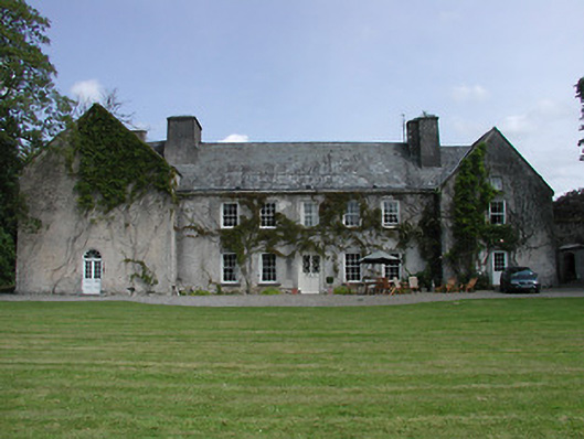 Cloghjordan Housecountry house · 787 yd
 CastleCastle, tower house · 796 yd
 MacDonagh HouseMemorial · 815 yd
 Knockanacree WoodForest · 849 yd
 Thomas MacDonagh Heritage CentreMuseum · 852 yd
 Castle in ruinsCastle, unclassified · 1530 yd
 Ballycapple WoodForest · 2.9 mi
 James Devaney MemorialMemorial · 5.4 mi
 Gibbet HillMountain / peak · 9.3 mi