What is recorded here
In reclaimed pasture. Depicted on the 1840 ed. OSi 6-inch map as a square-shaped earthwork. Shown on the 1897 ed. OSi 25-inch map as a square-shaped area (dims. c. 46m NW-SE; 46m NE-SW) defined by a bank reduced to a scarp at S with external bank from SE-S-W and NW-N-NE and intervening fosse. Truncated at N and E by a drainage channel. Described by Westropp (1916/1917, 21) as a fort measuring ‘250 feet [74.2m] across’. Levelled monument visible as square-shaped cropmark (dims. c. 48m N-S by 52m E-W), intersected at NE by a linear cropmark running roughly E-W on Digital Globe orthoimage taken between 2011-13 and on Google Earth orthoimages.
See attached Google Earth orthoimages.
Compiled by: Fiona Rooney
Date of upload: 8 September 2021
The monument record does not grant public access. Check the route and ask the landowner before entering private land.
- What survives
- Recorded monument
Places near here
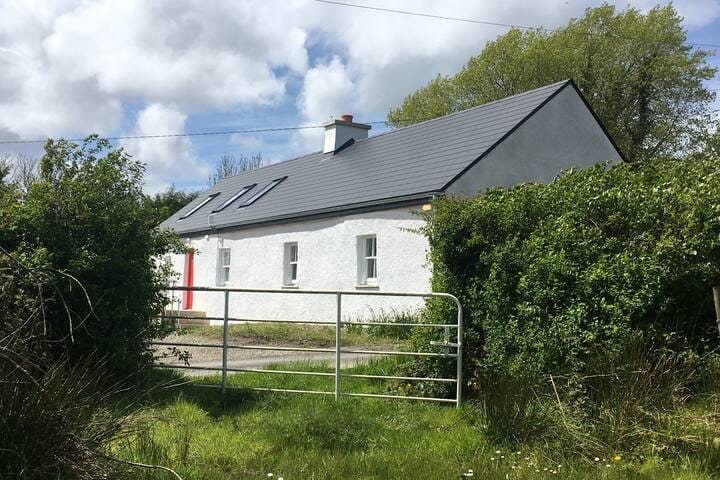 Habitation site in MountblakeneyHabitation site · 464 yd
 BarrowBarrow, bowl-barrow · 604 yd
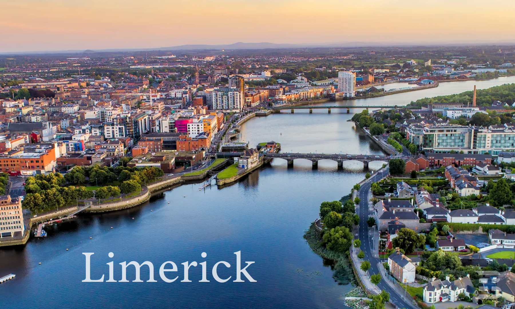 IndicatedCastle, unclassified · 652 yd
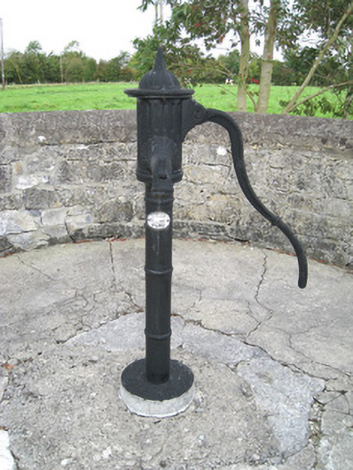 water pumpwater pump · 1.1 mi
 Kilbreedy Church (in ruins)Church · 1.1 mi
 Lady's WellSpring · 1.8 mi
 ToberSpring · 1.8 mi
 Bawn in CregganeBawn · 1.9 mi
 Holy Cross CemeteryGraveyard · 2.8 mi
 King John's CastleCastle · 3.0 mi
 Caher HillMountain / peak · 4.7 mi
 BallinaboolaVisitor information · 4.8 mi