What is recorded here
In low-lying marshy area overgrown by gorse with frequent outcrops of limestone. Roughly rectangular area (35.6m E-W; 30m N-S) enclosed by earthen bank (int. H 0.9m; ext. H 1.2m) with external fosse (D 0.5m; Base Wth. 1.6m) W->E. Enclosing element E->W recently levelled but is evident as line of loose stony earth. Interior seems to be slightly raised above level of surrounding terrain; surface uneven and showing signs of recent disturbance. Marking present end of bank on E side is large limestone boulder (H 1.1m; 1.9m x 0.3m) embedded in the ground.
Compiled by: Denis Power
Date of upload: 26 August 2011
The monument record does not grant public access. Check the route and ask the landowner before entering private land.
- What survives
- Recorded monument
Places near here
 Morgans Househouse · 758 yd
 TurretCastle, unclassified · 792 yd
 Castle (in Ruins), Castle FarmBawn · 1035 yd
 IndicatedEnclosure · 1167 yd
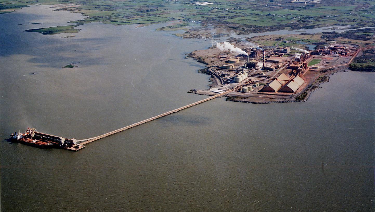 Enclosure in Aughinish EastEnclosure · 1294 yd
 Turret (in ruins)Building · 1.0 mi
 Tummera LittleIslet · 1.2 mi
 Aughinish PointHeadland · 1.3 mi
 Herring RockNamed rock · 1.4 mi
 Holly IslandIslet · 1.6 mi
 Foynes Flying Boat & Maritime MuseumMuseum · 2.8 mi
 Foynes Island ViewpointViewpoint · 2.9 mi