What is recorded here
In level grassland. Marked on the 1838 edition of the OS 6-inch map as a rectangular enclosure (c. 35m NNE-SSW; c. 25m WNW-ESE); on the 1944-5 revision of the map only the W limits are shown and it was clipped by a NNE-SSW running field boundary. On inspection in July 1984 only a slight scarp (H 0.3m) and fosse (Wth 3m; D 0.2m) were visible, c. 6m to the W of the field boundary, running from SW to NW. To the E of field boundary no visible surface trace survived due to the construction of a silage pit and a shed. Current OSi aerial imagery indicates that the shed has since been removed. Possibly a moated site.
Compiled by: Galway Archaeological Survey, UCG
Date of upload: 4 December 2019
The monument record does not grant public access. Check the route and ask the landowner before entering private land.
- What survives
- Recorded monument
Places near here
 Enclosure in Ballymore UpperEnclosure · 873 yd
 Silver FirSilver Fir · 1685 yd
 Ballymore CastleCastle, tower house · 1696 yd
 TobermurryHoly well · 1.1 mi
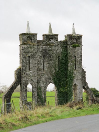 Belviewfolly · 1.3 mi
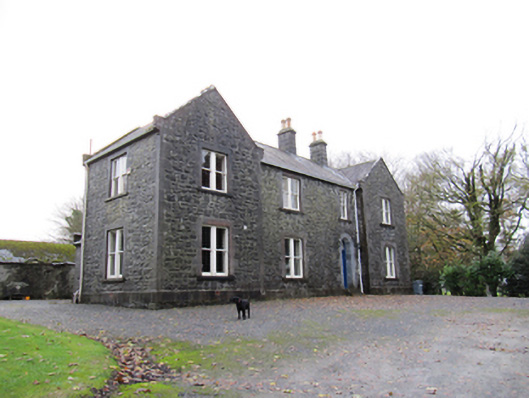 Redmount Hill Housefarm house · 1.4 mi
 Redmond HillMountain / peak · 1.5 mi
 Oghil Castle (in ruins)Castle, tower house · 2.3 mi
 European ashEuropean ash · 3.6 mi
 Ballymacegan IslandIsland · 5.0 mi
 Killeen's IslandIsland · 5.0 mi
 MeelickVisitor information · 5.0 mi