What is recorded here
In reclaimed pasture 270m W of the townland boundary with Ballywire that also marks the County boundary with Tipperary. Depicted on the 1897 ed. OSi 25-inch map as a raised triangular-shaped area (dims. c. 47m NE-SW; 42m NW-SE) rounded at NE and enclosed by a fosse (Wth. 4m). Traces of a narrow internal bank from N-E. Truncated at NE by field boundary running NW-SE. Outline of overgrown monument visible on Google Earth orthoimage dated 14/09/2019.
See attached Google Earth orthoimages.
Compiled by: Martin Fitzpatrick
Date of upload: 15 July 2021
The monument record does not grant public access. Check the route and ask the landowner before entering private land.
- What survives
- Recorded monument
Places near here
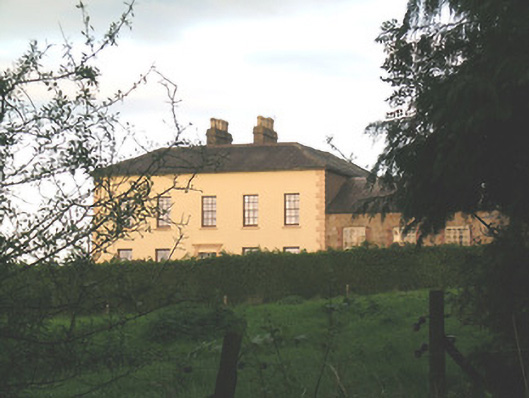 Ballywire Househouse · 424 yd
 BarrowBarrow, unclassified · 546 yd
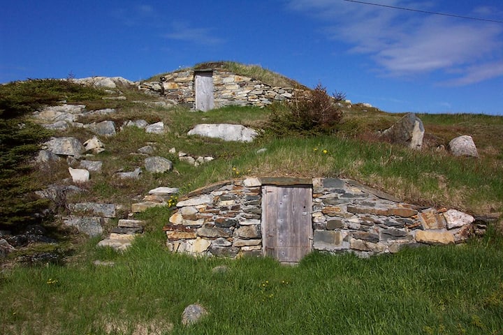 Enclosure in Kilross (clonbeg Par.)Enclosure · 1097 yd
 Aughaclareen Bridgebridge · 1462 yd
 Carn (site of)Cairn, burial cairn · 1.4 mi
 Darby's Bed Walk LoopWalking route · 1.6 mi
 Duntryleague HillMountain / peak · 1.6 mi
 Duntryleague - hachuredCastle, ringwork · 2.2 mi
 Ryves CastleCastle, unclassified · 2.5 mi
 Saint Patrick's WellSpring · 3.2 mi
 St Patrick's WellSpring · 3.9 mi
 Knockanebrack HillMountain / peak · 3.9 mi